

- Difficulty Intermediate
- Time 4 hours
- Round-Trip 7km
- Elevation Gain 460 meters
- Season July - October
- Camping No
- From Vancouver 50 minutes
- Public Transit No
- Dog Friendly Yes
 View Trail Map
The trail to Pump Peak on Mount Seymour follows a rugged route but hikers are rewarded with one of the best viewpoints from the region, offering views of the city of Vancouver and the surrounding North Shore mountains. The trail can be challenging in sections as it has steep sections with loose rock and some scrambling towards the end to the peak.
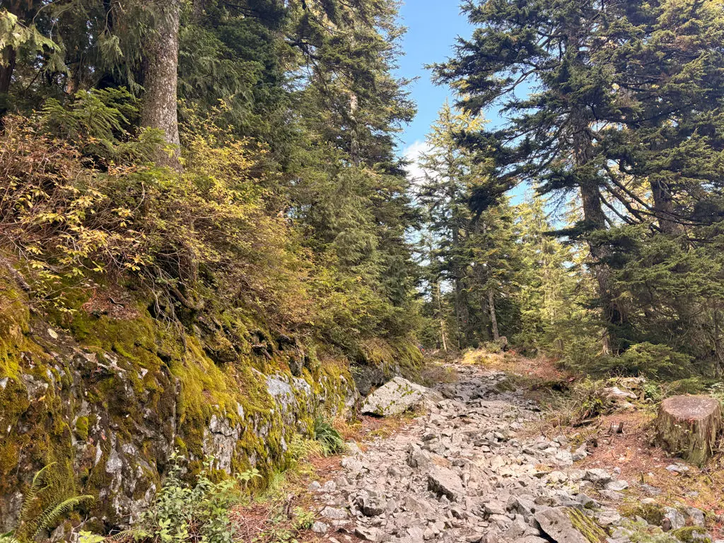
From the parking lot area, walk past the wooden map board and down the hill towards the chair lift. Stay towards the left and walk towards the sign post next to a rocky trail that heads uphill to the left. The sign should mention distances to Mount Seymour and Elsay Lake (not the Dog Mountain trail). Pass the sign and walk up the hill along the rough route, stepping your way up the rocks as you leave the ski area.
The trail passes several junctions, but stay on the main route as it continues climbing. Just after passing a small pond, the trail veers right and goes up a hill, arriving at a ski run. Go left and walk up the steep ski hill. Continue following the ski hill as it levels out and watch for a wooden sign post on the left side, marking a trail to Mount Seymour and Elsay Lake. Go left at this junction.
The trail briefly descends, passing another small pond, before ascending quickly through some very rough terrain. Watch your step as you make your way up the loose rocks. The trail arrives at a wide ski run where it continues uphill. As the route levels pass a wooden sign, then walk along the narrow trail to a junction where you are just meters from the Brockton Point.
The view at Brockton Point is ok and it might be worth checking out since it's just a short walk up onto the rocky bluff. Trees block certain angles but you can walk along the rocks to find a better opening to enjoy.
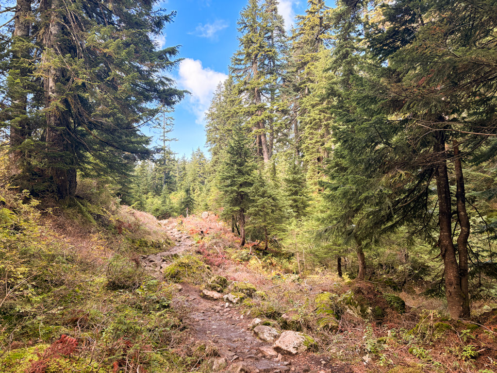
Return to the main trail and continue following the route as you visibly see Pump Peak towering up ahead. The trail descends downhill over some loose rock, before levelling again. Walk over a large rocky outcrop and continue following the orange markers.
Eventually, the trail reaches a junction. Go left at the junction towards Pump Peak as this is the point where the trail begins to climb steeply. This section of the route feels like a grind as you gain elevation rapidly. As the trail exits the treeline, you pass through a rocky section with a small pond. Stay to the right of the pond, then begin another steep uphill climb, following the orange markers up the rocky trail.
Continue hiking as the trail levels until you reach a wooden sign. Go left at the sign, walk between the rocks, and follow the trail out to a point where you can step up onto the rocky ridge to the left. After stepping onto the ridge, turn to your left and scramble up the steep slope to the peak where a wooden sign sits.
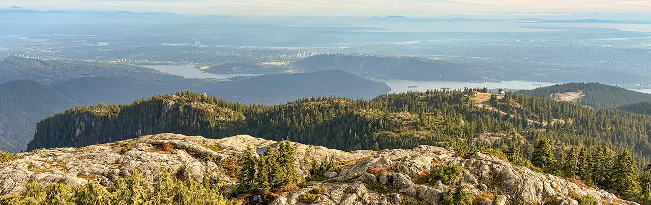
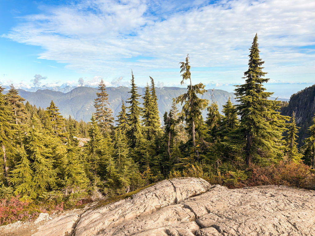
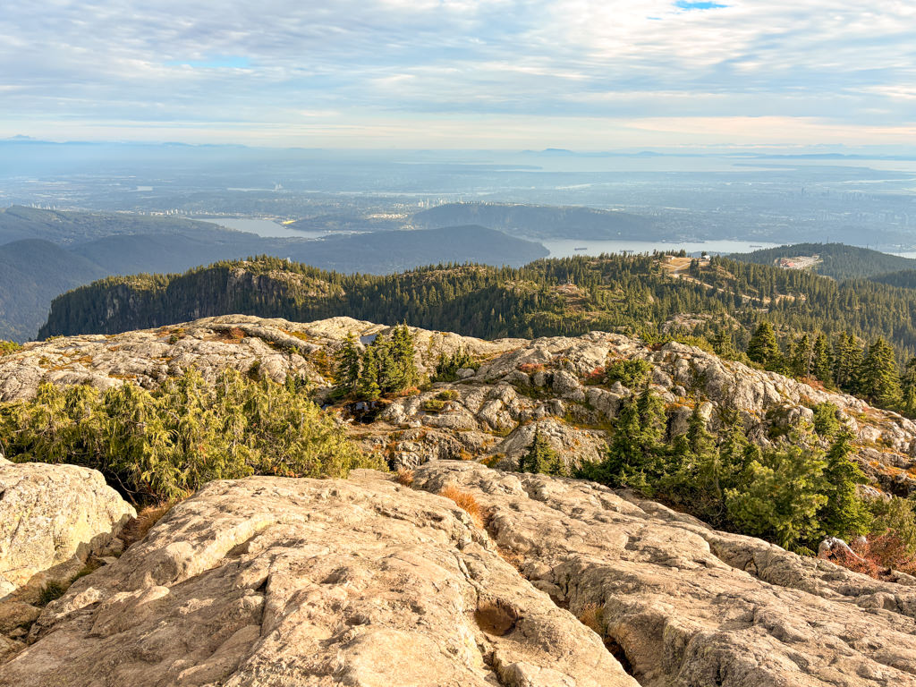
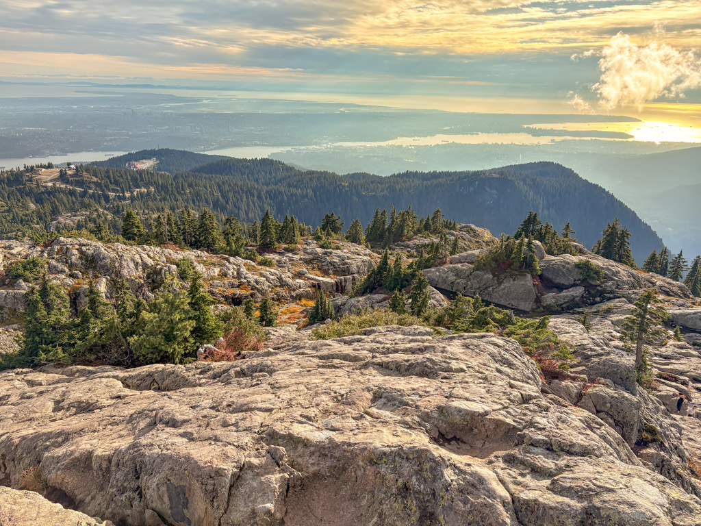
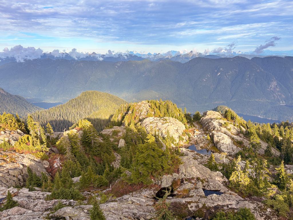
On a clear day, you get a full panoramic view from Pump Peak. Looking across the Mount Seymour parking lot area, you will see downtown Vancouver and well out towards the Salish Sea. Towards the north, you can see Mount Seymour, Mount Elsay, and many other backcountry mountains. You also get a view looking east across Indian Arm to the area north of Belcarra.
After enjoying the view, carefully make your way back down the smooth rock to a point where you can return to the trail, then walk back along the ridge line to the wooden sign post. Go right at the sign and follow the trail as it descends down the rocky slope, then back down into the tree line. Be careful descending the steep section and make sure to watch for orange markers to keep you on track.
At the junction go right and follow the trail as it continues to pass through the forested area. The trail begins to climb before levelling and reaching the junction with Brockton Point. Go left and walk back towards the ski run. At the bottom of the hill, follow the trail down the steep, narrow section until you pass the small pond and return to another ski run. Go right along the flat section briefly until the ski run descends steeply.
At the junction to the right, you can return via the trail that you arrived or follow the ski runs back down to the bottom. The ski runs will weave to the left and, it may feel like you are off track, but continue taking the ski hills to the right and you arrive back at the parking lot area for Mount Seymour.
How to get to Pump Peak
Estimated Driving Time from Vancouver
50 minutes
The trailhead to Pump Peak is located at Mount Seymour in North Vancouver.
From downtown Vancouver, head east to Highway #1 and enter the highway heading westbound. Cross over the Iron Workers Memorial Bridge (2nd Narrows) and take Exit #22B to Mount Seymour Parkway. Follow Mount Seymour Parkway and turn left at the traffic lights onto Mount Seymour Road. Follow Mount Seymour Road for about 13km uphill until you reach the parking lot. Park towards the far end of the parking lot and the trail.
You will have to walk past the cement barriers at the end of the parking lot towards a map board, then walk down the small hill to the wooden post where the trail begins.
View a map of Driving directions to Pump Peak.
Although we try to keep information as current as possible, www.vancouvertrails.com makes no warranty or representation as to the availability, quality, fitness for purpose, conditions or accuracy of the information provided with respect to this trail or trails. The information provided herein is further subject to our Terms of Use.
Comments
Add Comment View All Comments