- Difficulty Easy
- Time 1.5 hours
- Round-Trip 3km
- Elevation Gain minimal
- Season year-round
- Camping Yes
- From Vancouver 2 hours 20 minutes
- Public Transit No
- Dog Friendly On-Leash
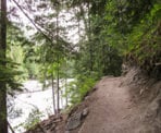
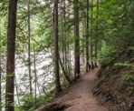
Nairn Falls is located along the Sea To Sky Highway (Highway #99) between Whistler and Pemberton. It's a nice, short hike to a beautiful waterfall. After parking, start the hike to the falls from the right side of the parking lot. The trail follows alongside the river with minimal elevation change for about 1.5km.
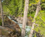
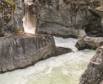
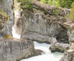
When you come upon a large rocky area, walk up to the top where there is a platform. This is your first viewpoint of Nairn Falls where you can see the upper section. Between the falls and where the river continues, there appears to be a rocky ledge blocking the flow of water. Years of erosion have created water flows underneath this rocky ledge which are not visible.
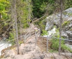
After enjoying the first falls, walk down the rocky area towards the chain-link fence below and follow this fence to the left. There is an opening that you can continue down, eventually getting to the lowest accessible point. Here you can see the lower falls tumbling down into the canyon. Across the canyon are logs and rocks that are part of the debris that has come down with the falls over the years.
After taking some photos and resting on the rocks, make your way back up the rocky area to the trail for the short walk back to the parking lot.
How to get to Nairn Falls
Estimated Driving Time from Vancouver
2 hours 20 minutes
Nairn Falls is located along the Sea To Sky Highway (Highway #99) 29km north of Whistler and just 3km south of Pemberton. The falls are easily accessible with a large parking lot and markings to the start of the trail that leads to the falls.
View a map of Driving directions to Nairn Falls.

Although we try to keep information as current as possible, www.vancouvertrails.com makes no warranty or representation as to the availability, quality, fitness for purpose, conditions or accuracy of the information provided with respect to this trail or trails. The information provided herein is further subject to our Terms of Use.

Comments
Add Comment View All Comments