- Difficulty Easy
- Time 0.75 hours
- Round-Trip 2km
- Elevation Gain 30 meters
- Season year-round
- Camping No
- From Vancouver 1 hour 30 minutes
- Public Transit No
- Dog Friendly On-Leash
Hillkeep Regional Park is located on the top of Chilliwack Mountain and offers two sections, one that goes to a viewpoint overlooking the Fraser Valley and another that meanders through a meadow. The land comprising of Hillkeep Regional Park was generous donated by local residents, Pat and Paige Woodward and intended as a nature reserve that the public can also enjoy.
Both the Viewpoint route and Meadow Loop route begin on separate trails from the cul-de-sac near the park map but are both short enough hikes that each can be completed.
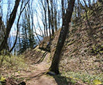
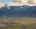
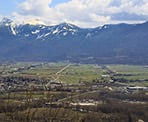
Starting with the viewpoint trail, follow the gravel road furthest from the map board past the metal gate as the wide route quickly enters the forested area. The gravel road weaves around a couple of short corners until, just a few minutes later, you see a sign post on the left next to some wooden stairs. Go left and walk up these stairs. The trail narrows as you climb the stairs before briefly levelling and then climbing again. Just a short distance further and you reach the wooden platform at the viewpoint. The view is obstructed in places by trees but you can still enjoy a fairly spectacular view looking across the valley towards the mountains surrounding Cultus Lake.
Return to the parking area by following the trail back down the hill to the gravel road, before going right and back down the road, past the metal gate.
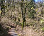
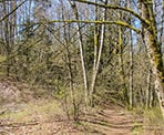
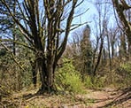
The Meadow Loop begins next to the park map and follows a trail down a steep hill. Follow the trail, enjoying the occasional glimpse of the Fraser River between the trees to your right. There are a couple of junctions, which are shorter routes that cross the larger loop, however stay to the right and complete the full loop. After the second junction, the trail briefly climbs before veering left and descending down to the marshy pond. Pass the pond and watch for a sign where you will have to go right to continue the loop. Another short distance and go right at a second junction as the trail wanders amongst the trees before descending back to the original trail where you walked along earlier. Having completed the loop at this point, walk the short distance back up the hill to the parking area.
How to get to Hillkeep Regional Park
Estimated Driving Time from Vancouver
1 hour 30 minutes
Hillkeep Regional Park is located at the top of Chilliwack Mountain.
To drive to the park from the Vancouver-area, head east on Highway #1 towards Chilliwack. Take Exit #116: Lickman Road. After exiting the highway, drive south to the roundabout and go around the roundabout to head in the opposite direction so you are driving on Lickman Road heading North across the Highway.
A short distance after crossing over the highway, Lickman Road becomes Chilliwack Mountain Road. Continue to follow Chilliwack Mountain Road along the side of the hill until you reach a 3-way intersection. Go straight at the 3-way intersection and continue on Chilliwack Mountain Road. After about 1km, turn left onto Grand View Drive and begin driving up the steep hill through several switchbacks. Stay on Grand View Drive all the way until you reach a 3-way intersection. Go right onto Hillkeep Place and drive the short distance to the cul-de-sac where the park begins. Make sure to park in the small gravel parking area on the right side.
View a map of Driving directions to Hillkeep Regional Park.

Although we try to keep information as current as possible, www.vancouvertrails.com makes no warranty or representation as to the availability, quality, fitness for purpose, conditions or accuracy of the information provided with respect to this trail or trails. The information provided herein is further subject to our Terms of Use.

Comments
Add Comment View All Comments