- Difficulty Intermediate
- Time 1 hour
- Round-Trip 1.7km
- Elevation Gain 88 meters
- Season year-round
- Camping No
- From Vancouver n/a
- Public Transit No
- Dog Friendly On-Leash
The George Hill Trail is located on the northern island of Pender Island and hikers can enjoy sweeping views of the Southern Gulf Island region from the top. The hike has a couple of steep sections of trail but rewarding views make the effort well worth it.
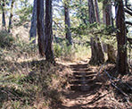
Starting from the trailhead on Ogden Road, follow the trail into the forest and veer left as the trail gradually climbs. Watch your step as you make your way up the uneven trail. The trail briefly levels in a small grove before continue up a steep section of hill as you quickly make your way to the top.
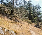
As the trail again levels, follow the worn path through the trees. There is a viewpoint on the right, however it's partially obstructed and pales in comparison to the views at the top. When the trail reaches a junction, go left at the junction and continue to follow the route as it begins to again climb steeply. Keep on the worn path and watch your footing as trail can be slippery, even during drier weather.
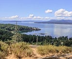
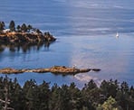
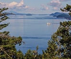
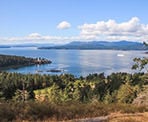
The trail again begins to level and a viewpoint sits just off to the left of the main trail. Walk to the viewpoint to see an incredible view looking Southwest down towards Otter Bay and across to Salt Spring Island. This is one of the best views but there is also an excellent view a short distance further up the main trail that looks more northward towards Prevost, Mayne, and Galiano Islands.
There is a junction near both peaks that follows a trail that goes to Clam Bay Road, however there are no views nearby that are as good as the two views at the top. Don't take this trail, unless you have a reason to hike down to Clam Bay Road.
After enjoying the views, return via the route you arrived, following the trail back down hill. At the junction, stay right and continue along the route, returning back down the steep, forested trail to Ogden Road where you began.
How to get to George Hill Trail
Estimated Driving Time from Vancouver
n/a
The trailhead for George Hill is located near the northern top of North Pender Island.
Driving from the Driftwood Shopping Centre, drive north on Bedwell Harbour Road. Veer left onto Corbett Road and follow Corbett Road to a 3-way intersection. Turn left onto Port Washington Road and follow this street until the end.
Turn right onto Upper Terrace Road and drive up the hill, then turn left onto Bridge Road. Just after turning on Bridge Road, veer right onto Stanley Point Road and follow as it loops around to a 3-way intersection. Turn right onto Ogden Road and park in the gravel parking area just up the street. You can walk back down to the intersection where the hike begins.
View a map of Driving directions to George Hill Trail.

Although we try to keep information as current as possible, www.vancouvertrails.com makes no warranty or representation as to the availability, quality, fitness for purpose, conditions or accuracy of the information provided with respect to this trail or trails. The information provided herein is further subject to our Terms of Use.

Comments
Add Comment View All Comments