- Difficulty Easy
- Time 0.75 hours
- Round-Trip 1.8km
- Elevation Gain 70 meters
- Season year-round
- Camping No
- From Vancouver n/a
- Public Transit No
- Dog Friendly On-Leash
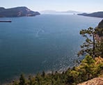
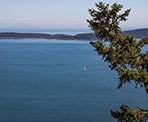
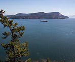
Mount Menzies is located on the east side of north Pender Island and there is an incredible viewpoint that looks across the water to Saturna Island. The trail is located in the Gulf Islands National Park.
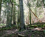
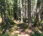
There are two different trails that begin from the cul-de-sac. Follow the trail at the end of the cul-de-sac (not the one with the sign post) as it gradually climbs through the forest. The trail is not marked but the first section is easy to follow and continues through a beautiful west coast forest as you gain must of the elevation through this section.
The most important part of this hike is finding the location where you need to go left to the viewpoint as it's very easy to miss. When the trail reaches a 3-way junction, go left and start slowly walking down hill but pay attention for a crooked tree on the left as you go down the hill. The crooked tree is only about 15 metres downhill from the junction, so not far. It has a wooden sign on it that says "Crooked Tree Lookout Trail".
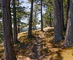
Go left at the crooked tree and follow the trails as it weaves through the forest, gradually going up a small hill. In no time, you arrive at the viewpoint, which is a very steep cliff, so make sure not to get too close to the edge. There is a short trail along the viewpoint area that you can follow to see the view from slightly different angles, all of which look across to Saturna Island.
Return via the same route you hiked, following the trail back to the crooked tree. Go right and up the hill, then immediately go right at the junction. Follow the trail back down hill until you reach the cul-de-sac.
How to get to Mount Menzies
Estimated Driving Time from Vancouver
n/a
Mount Menzies is located on North Pender Island.
From the Driftwood Shopping Centre, drive north and follow Bedwell Harbour Road. Just past the Pender Island United Community Church, turn right and continue following Bedwell Harbour Road. At the next street, turn right onto Hooson Road and follow it for about 2km until the end of the road when you reach a cul-de-sac. The trail begins at the end of the cul-de-sac.
View a map of Driving directions to Mount Menzies.

Although we try to keep information as current as possible, www.vancouvertrails.com makes no warranty or representation as to the availability, quality, fitness for purpose, conditions or accuracy of the information provided with respect to this trail or trails. The information provided herein is further subject to our Terms of Use.

Comments
Add Comment View All Comments