- Difficulty Easy
- Time 5 hours
- Round-Trip 12km
- Elevation Gain 115 meters
- Season year-round
- Camping No
- From Vancouver 40 minutes
- Public Transit Yes
- Dog Friendly No
The Fisherman's Trail follows the Seymour River in the lush forests of the Lower Seymour Conservation Reserve to the Mid Valley Viewpoint. The trail is a fairly long walk that offers many views along the route before reaching the Mid Valley Viewpoint with picnic tables to stop for lunch at. The Fisherman's Trail is a shared trail with hikers and mountain bikers but the majority of the route is fairly wide, making it easy for bikes to pass.
From the parking lot area, walk to the east side and look for a trail that heads into the forest. Follow it and almost immediately, a trail to the left marked with a sign for the Homestead Trail heads steeply downhill. Follow the Homestead Trail as you quickly descend into the lush forest of the Seymour River area. The end of the Homestead Trail joins with the Fisherman's Trail along the Seymour River.
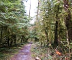
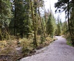
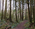
At the Fisherman's Trail, go left and pass the wooden gates as you begin your long walk up river. The first section doesn't offer much of a view of the river but continue along as the trail passes by moss covered trees and fallen logs providing plenty of fresh forest air to breath in.
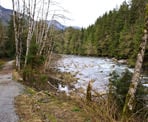
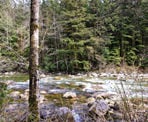
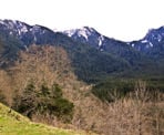
Eventually the Fisherman's Trail follows alongside the Seymour River, offering views of the river and some of the mountain ranges to the east. The route continues for quite a distance, passing over the occasional bridge, through a couple of narrow sections where mud slides have damaged the trail all the while seeing very few people along the route.
The trail climbs up a hill, passing a sign with directions and distances before reaching a paved road. Cross the paved road and hike up the steep gravel trail on the other side. As you round a corner, walk up over the grass to the Mid Valley Viewpoint, where there is a covered area and several picnic tables. This is a beautiful spot to stop for lunch and enjoy the surrounding scenery.
After you have enjoyed the view at the Mid Valley Viewpoint, walk back down the trail that you arrived and rejoin the Fisherman's Trail across the road at the bottom, beginning the 6km walk back to the parking lot. Go right onto the Homestead Trail and hike up the steep hill, returning to the parking lot.
How to get to Fisherman's Trail
Estimated Driving Time from Vancouver
40 minutes
The Fisherman's Trail in the Lower Seymour Conservation Reserve is best accessed from the parking lot at the end of Lilloet Road in North Vancouver, near the Greater Vancouver Water District site.
From downtown Vancouver, drive east towards Highway #1 and enter the highway, heading westbound. Cross the Iron Workers Memorial Bridge (2nd Narrows). Take Exit #22A: Lillooet Road, passing under the overpass and veer right to the 4-way intersection. Turn left at the traffic lights and drive up the hill along Lillooet Road. (note: if you take Exit #22B, carefully merge over 1-lane of traffic and go straight at the 4-way intersection, continuing up the hill on Lillooet Road)
Follow Lillooet Road as it passes the turnoff to Capilano University and continue on the paved road. The road passes a cemetery then continues along a lengthy stretch with lots of speed bumps. Drive to the end of the road and turn right into the gravel parking lot area.
The route to the Fisherman's Trail begins at the far end of the parking lot, so it's best to drive to and park at the other end of the parking lot.
View a map of Driving directions to Fisherman's Trail.
Transit Access to Fisherman's Trail
The Lower Seymour Conservation Reserve, including the Fisherman's Trail, is accessible by public transit.
From downtown Vancouver, take the Seabus across Burrard Inlet to Lonsdale Quay in North Vancouver. From the bus terminal at Lonsdale Quay, take Bus #228: Lynn Valley. You will need to exit the bus at Lynn Valley Road and Dempsey Road, which will take about 30-minutes to reach, depending on the bus' schedule. Ask the busy driver to stop at the correct stop if you are unsure.
After you have exited the bus, it's about a 15-minute walk to the trailhead. Walk towards the 3-way intersection and follow Lynn Valley Road north for about 60-meters from the stop sign. Veer to the right and walk down Rice Lake Road and cross a bridge over the canyon. Continue to follow the gravel path on the other side until you reach the area near the ranger station. Look for the gravel parking lot and walk to the far end on the east side of the lot where the trail begins.

Although we try to keep information as current as possible, www.vancouvertrails.com makes no warranty or representation as to the availability, quality, fitness for purpose, conditions or accuracy of the information provided with respect to this trail or trails. The information provided herein is further subject to our Terms of Use.

Comments
Add Comment View All Comments