- Difficulty Easy
- Time 1.5 hours
- Round-Trip 5.1km
- Elevation Gain 160 meters
- Season year-round
- Camping No
- From Vancouver 40 minutes
- Public Transit Yes
- Dog Friendly On-Leash
Lynn Headwaters Regional Park has many trails that offer a variety in choosing shorter hikes to longer day hikes. Lynn Loop is a short trail that takes you up through the forest before looping back along the rushing water of Lynn Creek.
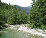
From the parking lot, walk past the yellow gate towards Lynn Creek and over the bridge. Take in the rushing water below with Mount Fromme towering in the backdrop before continuing towards the signboard. Check the map of the park area and familiarize yourself with where you are and where the Lynn Loop Trail is.
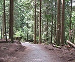
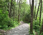
Head to the right along the service road until you reach a sign on your left marking the Lynn Loop Trail. Turn left and continue past the sign as you make your way up the steep hill. After walking uphill for about 10 minutes, the trail levels out and wanders through a forest filled with Cedar and Hemlock trees.
On this trail you will pass a sign for a lookout. This section goes uphill for 10 minutes to a small view, from the top of a big rock, of Vancouver Island and some of the San Juan and Gulf Islands. Go back down to go return to the Lynn Loop Trail.
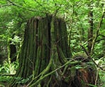
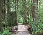
Continue along the trail as it meanders through the forest, past mossy stumps and beautiful trees. After 2km, you will reach a fork in the trail known as the Second Debris Chute. At this point, if you wish to extend your hike by an additional 4.5km, continue right along the trail to the Third Debris Chute. Otherwise, head left down the hill towards the rushing water sound of Lynn Creek. The result of big windstorms can be seen along the way as evidenced by big piles of logs that have snapped and fell down.
The trail meets up with the service road that follows Lynn Creek. Follow the gravel road for 1.7km catching occasional glimpses of Lynn Creek as you make your way back towards the signboard. If you signed in, make sure to sign out before walking back to the parking lot across the bridge.
How to get to Lynn Loop
Estimated Driving Time from Vancouver
40 minutes
Lynn Loop is located in Lynn Headwaters Regional Park in North Vancouver. To reach the start of the trail, take Highway #1 to the Lynn Valley Exit and follow Lynn Valley Road northbound. Continue past the shopping center and past the turnoff to Lynn Canyon Park. Where the road turns left, continue going straight along the narrow road to the last parking lot. If there is no parking here, backtrack about 500m to the overflow lot and walk back to the main parking lot.
View a map of Driving directions to Lynn Loop.
Transit Access to Lynn Loop
From downtown Vancouver, take the Seabus across to North Vancouver and at the Lonsdale Quay bus loop, take bus #228 to Lynn Valley. You will want to get off of the bus near the end of the route at Dempsey and Lynn Valley Road. Let the bus driver know where you are going and they can stop at the location.
After getting off the bus, walk down the paved road into the forest towards the parking area and the start of the trail.
Note: The bus will take you as far as the hairpin turn and you will have to walk the remaining distance along the narrow road to the yellow gate. Ask the bus driver for the best bus stop to get off at.

Although we try to keep information as current as possible, www.vancouvertrails.com makes no warranty or representation as to the availability, quality, fitness for purpose, conditions or accuracy of the information provided with respect to this trail or trails. The information provided herein is further subject to our Terms of Use.

Comments
Add Comment View All Comments