- Difficulty Intermediate
- Time 5 hours
- Round-Trip 12km
- Elevation Gain 180 meters
- Season June - September
- Camping No
- From Vancouver 2 hours, 15 minutes
- Public Transit No
- Dog Friendly No
Conflict Lake is located in the Callaghan Valley to the west of Whistler and offers a beautiful hike through forests and scenic meadow areas. The Callaghan Valley is a popular cross-country skiing area in the winter and the trail to Conflict Lake passes the nearby Journeyman Lodge.
The trail starts about 200-meters before Callaghan Lake, on the left side of the gravel road. Follow the trail as it heads into the forest and immediately crosses a bridge of wooden logs over the rushing water. The well-worn trail continues through the forest, crossing several narrow boards that pass over small streams or muddy sections. Watch your step along these crossings as they can often be slippery early in the day.
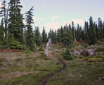
After walking for about 1.8km, you reach a junction with a sign on a tree. Go right in the direction pointing towards the Lodge and follow the trail as it immediately climbs uphill. The next section is the most difficult part of the trail as it ascends and passes over rocks and logs.
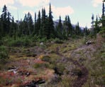
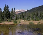
The trail eventually reaches an open meadow and crosses a small creek. A few steps further and you can begin to catch glimpses of Powder Mountain to the left and up ahead. The trail has very little incline through this section but can often be muddy and slippery.
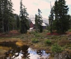
After making your way along the trail and looking at the beautiful scenery, the Journeyman Lodge suddenly appears up ahead. Follow the trail as it goes straight towards the front door of the lodge, then go right, walking along the side of the building to where the trail continues down a hill towards Conflict Lake.
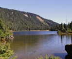
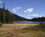
Conflict Lake is just a short walk from the Callaghan Lodge and there are a few places around the lake that offer a beautiful area to sit and take in the scenery. The first view of the lake is to the right, just as you?re walking down the hill. A second option is to continue a bit further and look for a worn path that goes off to the right and follow it as it goes alongside the lake and ends next to the shoreline by several rocks to sit on. Another great viewpoint is to continue following the main path around to the northwest side of the lake, looking for a grassy clearing where you can walk right down to the shoreline and see across the lake.
Hikers wishing to extend their hike can continue on towards Ring Lake, which is an additional 4-5km from Conflict Lake, making the complete round-trip 20km from the parking area to Ring Lake and back again. Note that the trail has minimal elevation gain until the final kilometer to Ring Lake, where it climbs steeply.
After enjoying the scenery at Conflict Lake, return to the main trail and begin walking back towards the Lodge. Go left by the front door and down the trail as it passes the little ponds and rocks, offering views of Powder Mountain in the distance. Cross over the creek and follow the trail through the forest as it weaves its way through the trees, descending quickly and passing over the little streams. At the junction, go left and hike the final leg of your journey back towards the parking lot area, crossing over the log bridge near the end.
How to get to Conflict Lake
Estimated Driving Time from Vancouver
2 hours, 15 minutes
The trail to Conflict Lake begins about 200-meters from Callaghan Lake, up a rugged forest service road. A 4-wheel drive vehicle is highly recommended as the terrain on the road can be quite rough.
From Vancouver, drive to Highway #1 and head westbound through West Vancouver towards Horseshoe Bay. Follow the signs and merge onto Highway #99, the Sea To Sky Highway heading north bound to Squamish and Whistler.
You will need to turn left onto the Callaghan Valley Road, which is just south of Whistler and roughly 100km north of Horseshoe Bay. Quite a ways after passing through Squamish, watch for signs to Brandywine Falls. About 5-minutes after passing Brandywine Falls, pull into the left lane and carefully cross over onto the Callaghan Valley Road.
Follow the paved road as it heads uphill and stay on the main route. Just after passing Alexander Falls, turn left and cross over a bridge onto a gravel forest service road. Follow the gravel road for the next 8.5km, staying on the main forest service road. There will be a couple of other branches but stay on the main route. Just before Callaghan Lake, there is a small parking area to the left where the trail starts where vehicles are often parked. If you miss it, you will end up at Callaghan Lake and will need to either walk or drive back about 200 meters to the start of the hike.
View a map of Driving directions to Conflict Lake.

Although we try to keep information as current as possible, www.vancouvertrails.com makes no warranty or representation as to the availability, quality, fitness for purpose, conditions or accuracy of the information provided with respect to this trail or trails. The information provided herein is further subject to our Terms of Use.

Comments
Add Comment View All Comments