- Difficulty Easy
- Time 4 hours
- Round-Trip 15km
- Elevation Gain 236 meters
- Season year-round
- Camping No
- From Vancouver 15 minutes
- Public Transit Yes
- Dog Friendly Yes
Trail Notice
A section of the Capilano Pacific Trail is closed due to a landslide. The landslide occured near the access point to Moyne Drive. A detour route has been established, please follow signage for the detour around the landslide area. All trails further north in Capilano Regional Park are open.
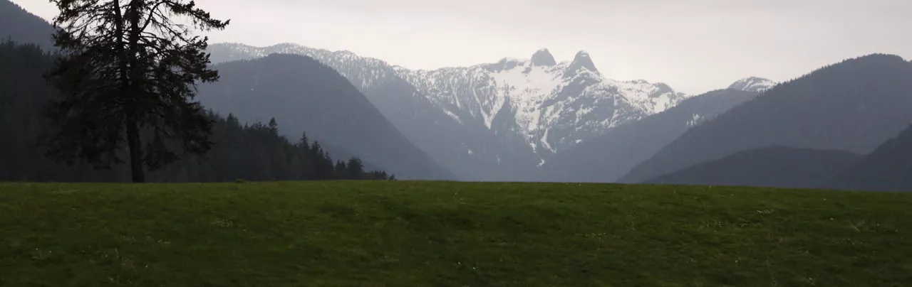
The Capilano Pacific Trail follows the Capilano River, the border of North and West Vancouver, from the sea up to Cleveland Dam where much of Vancouver's drinking water comes from. The route is 7.5km (2 hours) each way and passes a variety of terrain, including beaches, rocky shores, steep canyon cliffs, and dense west coast rain forest.
From Ambleside Beach, walk east and start the hike by going underneath the train bridge and following the paved path towards the Park Royal Shopping Mall. Continue along the backside of the mall to the end of the pavement and onto a gravel trail that follows the Capilano River and passes several residences and businesses. The trail passes under the Marine Drive bridges and then over a wooden bridge that crosses the mount of Brothers Creek. Stay to the right on the other side of the bridge as it passes another residential building and then onto a trail that follows the river side.
Watch for a sign pointing to the left for the Capilano Pacific Trail and go left up a dirt trail as it passes between several apartment buildings. This trail short trail will exit onto Keith Road at the intersection with 3rd Street. Go right along Keith Road, passing more apartments and houses for and the road will eventually pass underneath Highway #1 high above before continuing on a gravel road.
The gravel road comes to a gate with a wooden map board on the right that shows all the trails within the Capilano area. Walk past the gate and continue along the wide gravel route as it gradually climbs uphill. Eventually, you will see a fenced in area to your right and often people walking around the trails inside. This is the Capilano Suspension Bridge. At the end of this fenced area, go right onto a dirt trail that enters the forest and down the steps as it veers to the left. This section of the hike is scenic and feels as though you are miles away from an urban area.
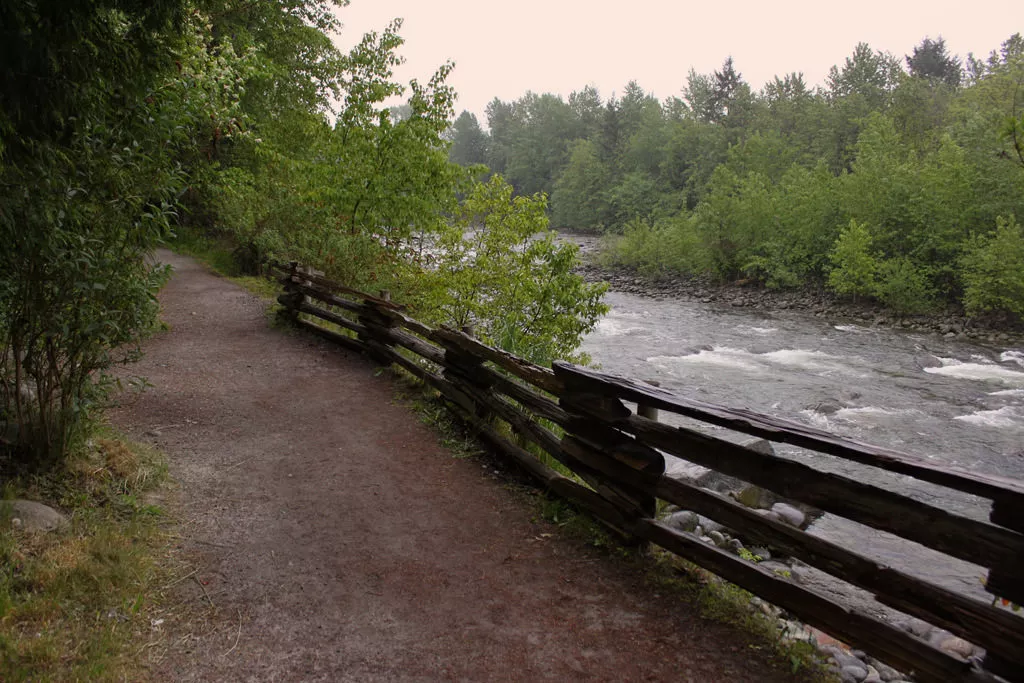
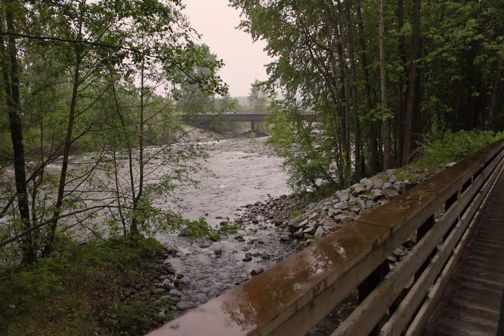
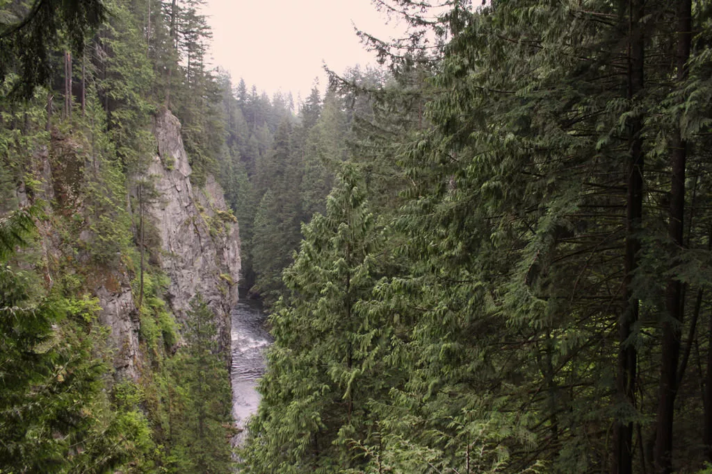
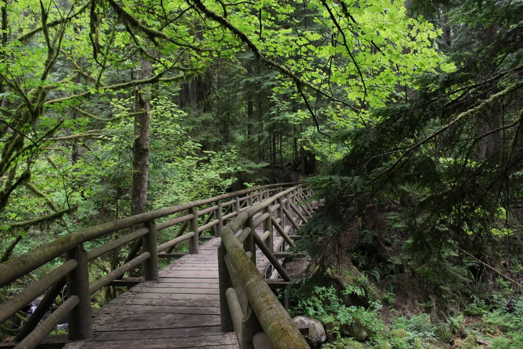
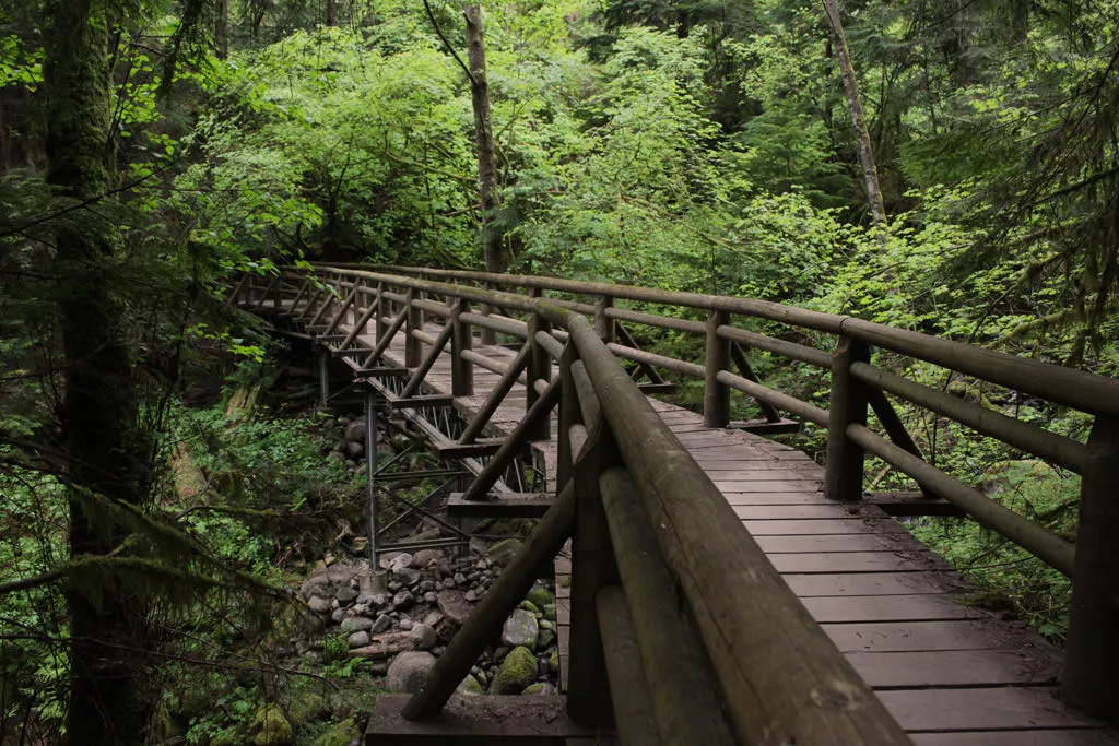
Continue following the trail uphill as it passes over numerous wooden bridges with creeks below. To your right, there is a wooden viewing platform that gives a good glimpse of the steep slopes of the Capilano Canyon below. Back on the main trail and more thick forest, wooden bridges, and occasional glimpses of the river below.
At a 4-way intersection, go straight and a short distance later, the trail exits onto a wide gravel road. Go left and up the steep route and emerge from the forest onto Cleveland Dam. After taking in the views from the dam, continue across to the North Vancouver side and find a place in the park to have lunch.
You can either retrace your steps back down the route to Ambleside or take a bus from Capilano Road just beyond the parking lot back to Vancouver.
How to get to Capilano Pacific Trail
Estimated Driving Time from Vancouver
15 minutes
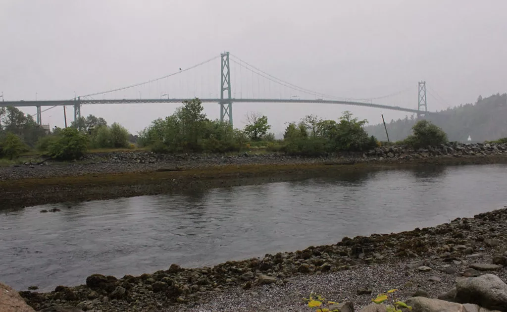
The Capilano Pacific Trail begins from Ableside Beach in West Vancouver and is only a short distance from Vancouver. Driving from downtown, drive west along Georgia Street and follow the Stanley Park causeway across the Lions Gate Bridge. Watch for signs to West Vancouver and stay left as the off-ramp loops around and underneath, taking you across a bridge over the Capilano River. Continue driving straight along Marine Drive, through the lights at Taylor Way and pass the Park Royal Shopping Mall. Turn left at the lights on 13th Street and drive across the train tracks, veering left into Ambleside Park.
The trail begins at the eastern end of the park so parking near the beach or dog walk area is best.
View a map of Driving directions to Capilano Pacific Trail.
Transit Access to Capilano Pacific Trail
There are several public transit options for the Capilano Pacific Trail as bus stops are located near both ends of the trail. That means that it's possible to walk the trail one-way and catch a bus back to the city from the other end.
Buses to and from Ambleside Beach
Either bus #250 or #251 will take you along Marine Drive in West Vancouver and near the entrance to Ambleside Beach. From the bus stop, it will be about a 10 - 15 minute walk, across the train tracks and along the beach to the train bridge and the start of the Capilano Pacific Trail.
Buses to and from Cleveland Dam
There are two bus options from Cleveland Dam, both route will take you towards downtown Vancouver but both involve getting onto bus #236 to Lonsdale Quay. You can take this bus all the way to Lonsdale Quay and then transfer onto the Seabus which will take you into downtown. The other option is to transfer just beyond the Capilano Suspension Bridge onto bus #246, which will go across the Lions Gate Bridge and downtown.
Plan your route before leaving and ask the bus driver for directions if you are uncertain.

Although we try to keep information as current as possible, www.vancouvertrails.com makes no warranty or representation as to the availability, quality, fitness for purpose, conditions or accuracy of the information provided with respect to this trail or trails. The information provided herein is further subject to our Terms of Use.
Comments
Add Comment View All Comments