- Difficulty Easy
- Time 3 hours
- Round-Trip 8km
- Elevation Gain 190 meters
- Season year-round
- Camping No
- From Vancouver 2 hours, 30 minutes
- Public Transit No
- Dog Friendly On-Leash
Triangle Lake is located near Halfmoon Bay on the Sunshine Coast and is a beautiful forested hike with a loop around the lake. The trail passes over small streams as it weaves through a west coast rainforest, while gradually ascending to the viewpoint at Triangle Lake.
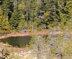
There are just two views of Triangle Lake and both are somewhat obstructed by trees. Accessing the lake is not easy either as the trail does not get close to it and, at both views, is quite high above it. What makes this hike enjoyable is the scenic forest the trail passes through.
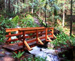
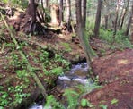
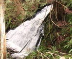
From the gravel parking area next to the map board, follow the trail and veer to the right as it enters the forest. This trail ensures that you are on the hiker-only trail. Within minutes, the trail passes over the scenic Colvin Creek where water rushes underneath. Note: There is a waterfall off to the right that can be seen just after the crossing the creek. There is no official trail to the waterfall viewpoint, so be careful and do not venture too close.
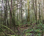
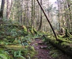
Continue follow the trail as it meanders through the forest, following Colvin Creek briefly before going right at a junction. The trail gains elevation throughout but has a few moments where there are some slightly steeper hills. The rainforest is lush with ferns, cedar, and Douglas Fir trees.
The trail reaches another junction at a sign where there is a short walk to the left to a viewpoint. The trees have grown over the years and not much of a view remains, so it might be worth skipping this viewpoint and going right to continue to Triangle Lake.
Not far after the viewpoint junction, go right at another junction that is not marked. Continue on the well defined trail until you reach the final junction marking the 2.8km mark. Again, go right and walk the final uphill section to the viewpoint at Triangle Lake. The view is slightly obstructed but you can look out, across the marshy lake as you sit on the wooden bench.
If you plan on hiking the loop around the lake, it takes approximately 40-minutes and is also a very scenic forested trail with one slight view of the lake. The start and end of the loop trail is at the viewpoint near the wooden bench.
Follow the loop trail in a counter-clockwise direction, as you quickly leave the area. The trail descends downhill into a valley where it crosses a creek before ascending a steep section. The route wraps around a hill and slowly descends to where a bench sits and looks at a view of Triangle Lake between the trees.
Continue following the loop trail until it arrives at a junction where a trail leads out towards the highway to Trout lake. Make sure to go left and continue to loop around Triangle Lake. At another junction a short moment further, go left again. This section of trail along the west side of Triangle Lake veers away, not offering any views of the lake, however the moss-filled forest is breathtaking in itself.
After about 40-minutes, you return to the junction at the first viewpoint and bench overlooking Triangle Lake. Take one last look at the lake, then head back down the trail in the direction you arrived earlier, as you begin your hike back. Follow the trail and make sure to check the signs at the junctions and go left. Pass the junction to the viewpoint and, eventually, the final junction as you walk the scenic section back, crossing Colvin Creek and returning to the trailhead.
How to get to Triangle Lake
Estimated Driving Time from Vancouver
2 hours, 30 minutes
Triangle Lake is located on the Sunshine Coast, north of Sechlet near the area of Halfmoon Bay. If you are driving from Vancouver, you will need to take the ferry from Horseshoe Bay to Langdale (Gibsons) and drive to the trailhead.
From the town of Gibsons, drive north along Highway 101 The Sunshine Coast Highway and continue on the highway, passing through Sechelt. Drive for about 9km and watch for a turnoff on the left to Sergeant Bay Provincial Park. Turn left onto Redrooffs Road and follow the road for about 2km. When you see the signs for Sargeant Bay Provincial Park on the left, the trailhead to Triangle Lake is across the street on your right. You can park on the right side but do not block the metal gate. Alternatively, there is more parking on the left side of the road next to the entrance to Sergeant Bay Provincial Park but be careful when crossing the road.
View a map of Driving directions to Triangle Lake.

Although we try to keep information as current as possible, www.vancouvertrails.com makes no warranty or representation as to the availability, quality, fitness for purpose, conditions or accuracy of the information provided with respect to this trail or trails. The information provided herein is further subject to our Terms of Use.

Comments
Add Comment View All Comments