- Difficulty Easy
- Time 4 hours
- Round-Trip up to 15km
- Elevation Gain minimal
- Season year-round
- Camping No
- From Vancouver 1 hour 15 minutes
- Public Transit No
- Dog Friendly Yes
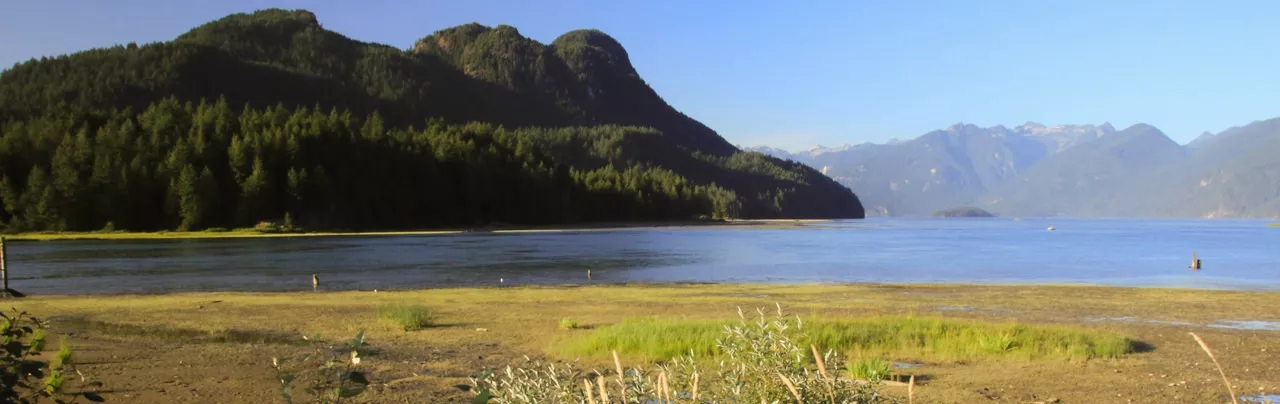
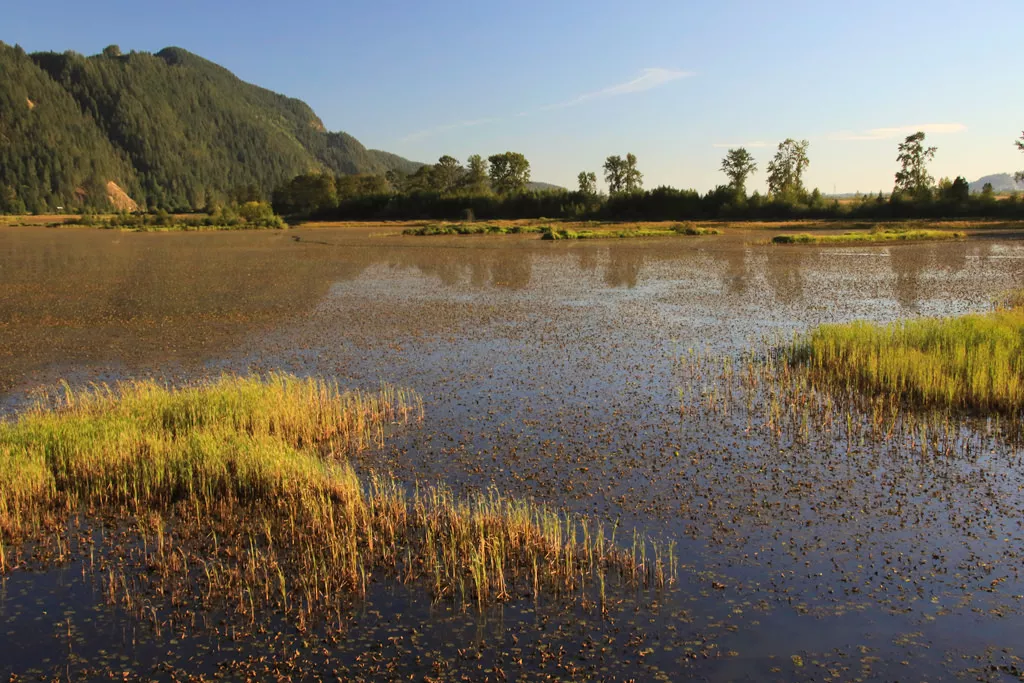
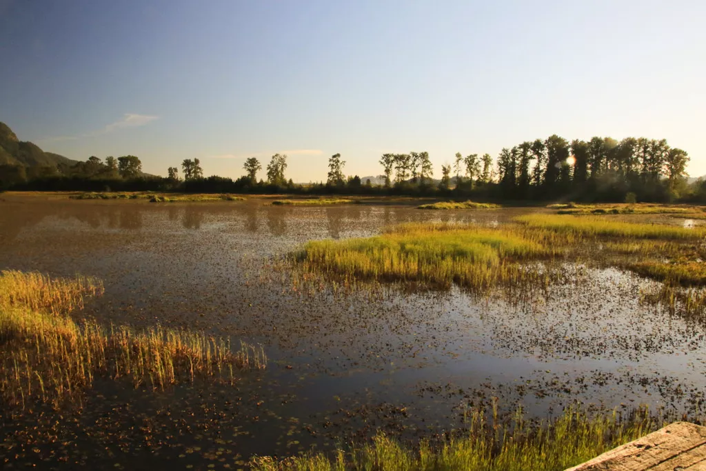
The Pitt Wildlife Management Area offers the perfect set of trails for nature lovers and bird watchers as well as those looking for a nice easy walk along the dikes of Pitt Lake.
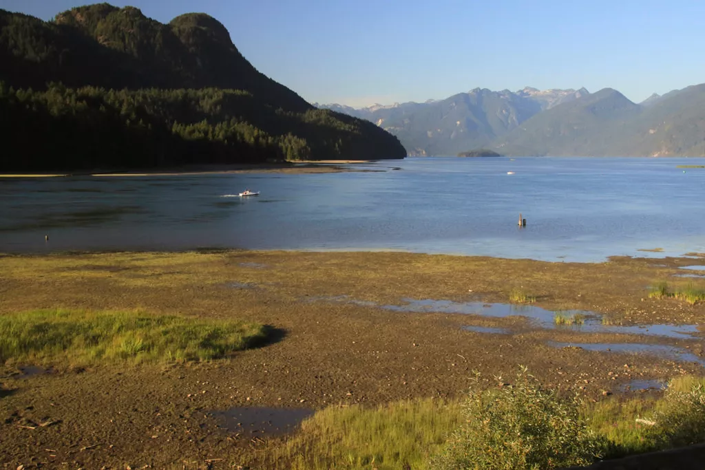
Starting from the Grant Narrows parking lot, walk east past the boat launch area to the metal gate and continue along the Pitt Lake Dike. A short distance after leaving the parking area, you approach a wooden viewing lookout. Climb the stairs to the top and take in the views of Pitt Lake and the marsh area as well as the nature living throughout the area.
There are a large variety of animals who live in the Pitt Wilderness Management Area including geese, ducks, Ospreys, Great Blue Herons, eagles, and other mammals such as beavers, deer, and bears. During the late spring, many geese and ducks can be seen protecting their young goslings from predators. During the evening, beavers can occasionally be spotted swimming along the shore of the dikes.
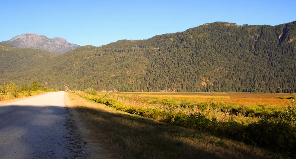
Just before reaching the mountains and some buildings, the dike meets with a connecting dike. Some older maps of the area show a trail that goes along the mountains that starts just beyond the buildings, however, these trails have been deactivated years ago and cannot be accessed anymore. However, the dikes are still accessible and offer views just as nice as those along the mountains.
Go right onto the Swan Dike and continue along the mountainside. Marsh area surrounds both sides of the dike and many animals have been spotted along the waterways. Continue until you reach a junction. Go right at the junction and continue as you approach the second wooden lookout off in the distance. Just before reaching the lookout is another junction and it is at this point you have to make a decision whether to go right and head back towards the parking lot or left and take the long route that circles the wildlife area. If you want to return to the parking lot, go right towards the lookout tower and continue along the Nature Dike back toward Grant Narrows.
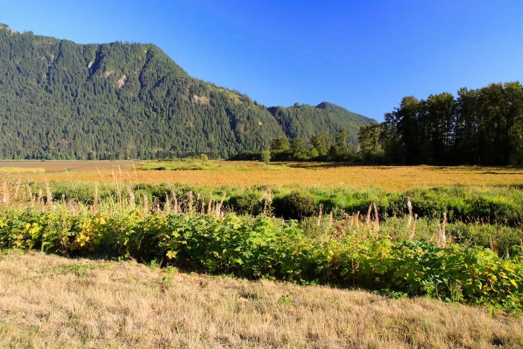
For the longer walk, go left and head along the Mountain Dike. Eventually, you reach a dike on the right that continues past a fence with a sign on it. This dike crosses the middle of the marsh and offers a more scenic route than continuing to the farming fields at the southern boundary of the wildlife area. Go right passing through the fence and follow what's called the Homilk'um Dike as it crosses the marsh area. This trail is not as frequently used so you may find yourself making fresh tracks through the tall grass.
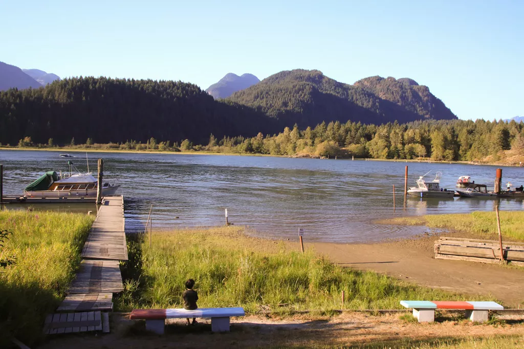
When the dike meets with a crossing trail, go right and begin heading north towards Pitt Lake. Again, the tall grass covers sections of the trail, however views of the birds and other waterfowl are not obstructed at all. After 40 minutes or so of walking, the trail reaches the road that leads to Grant Narrows. Instead of going right and walking along the dangerous and narrow road, go left for a few hundred meters to a metal gate on the other side of the road. Walk past the gate, up the hill and onto another dike and head to the right as it follows Pitt Lake, eventually arriving back at the parking lot and canoe rental shop.
How to get to Pitt Wildlife Loop
Estimated Driving Time from Vancouver
1 hour 15 minutes
The hike around the Pitt Wildlife Loop begins at Grant Narrows near Pitt Lake. From Vancouver, take Highway #1 (Trans Canada Highway) eastbound to Exit #44, the Pitt Meadows / Maple Ridge Exit. Stay to the right as you drive alongside the highway and underneath the Port Mann Bridge. Go straight through the lights and continue straight along the Mary Hill Bypass. After about 7km, turn right onto Lougheed Hwy and cross the swinging bridge into Pitt Meadows.
Continue along Lougheed Hwy until the lights at Harris Road and make a left turn. Drive straight and make a right turn onto Dewdney Trunk Road. Continue along Dewdney Trunk and watch for signs for Ayla Canoes. Turn left onto Neaves Road and continue following this road for the next 12km. At the end of the road is a parking lot. The walk begins at the end of the parking lot along the dikes.
Note: The parking is limited here so it's best to arrive early to ensure a spot. Otherwise, park alongside the road but be careful not to park where there are 'no parking' signs.
View a map of Driving directions to Pitt Wildlife Loop.

Although we try to keep information as current as possible, www.vancouvertrails.com makes no warranty or representation as to the availability, quality, fitness for purpose, conditions or accuracy of the information provided with respect to this trail or trails. The information provided herein is further subject to our Terms of Use.
Comments
Add Comment View All Comments