- Difficulty Intermediate
- Time 3 hours
- Round-Trip 5.5km
- Elevation Gain 260 meters
- Season year-round
- Camping No
- From Vancouver 1 hour
- Public Transit Yes
- Dog Friendly On-Leash
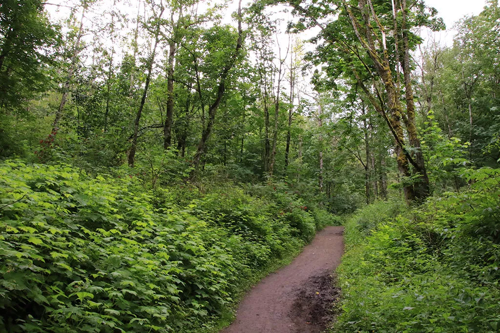
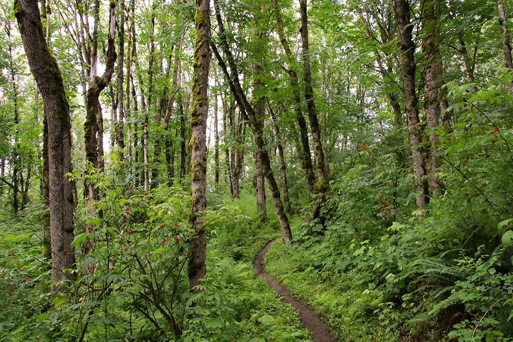
The Ledgeview Trails are a series of hiking and mountain biking trails on the west side of Sumas Mountain in Abbotsford. The loop around these trails provides a scenic view at a clearing near the top, some lush forested trails, and a great workout.
There are a maze of trails in this area and, while all are well-defined trails, most are not well marked. The easiest way to follow the suggested route is in a clockwise direction, however finding the trail that branches from the main trail is the tricky part. The reason for it being easier to complete this in a clockwise direction is that it's easier to follow the trails uphill and also allows you to see the mountain bikers coming down the hill.
From the parking area along McKee Road, walk to the metal gate and follow the trail beyond it. At the first opportunity, go right and follow the wide gravel trail uphill as it climbs and heads into the forest alongside a creek.
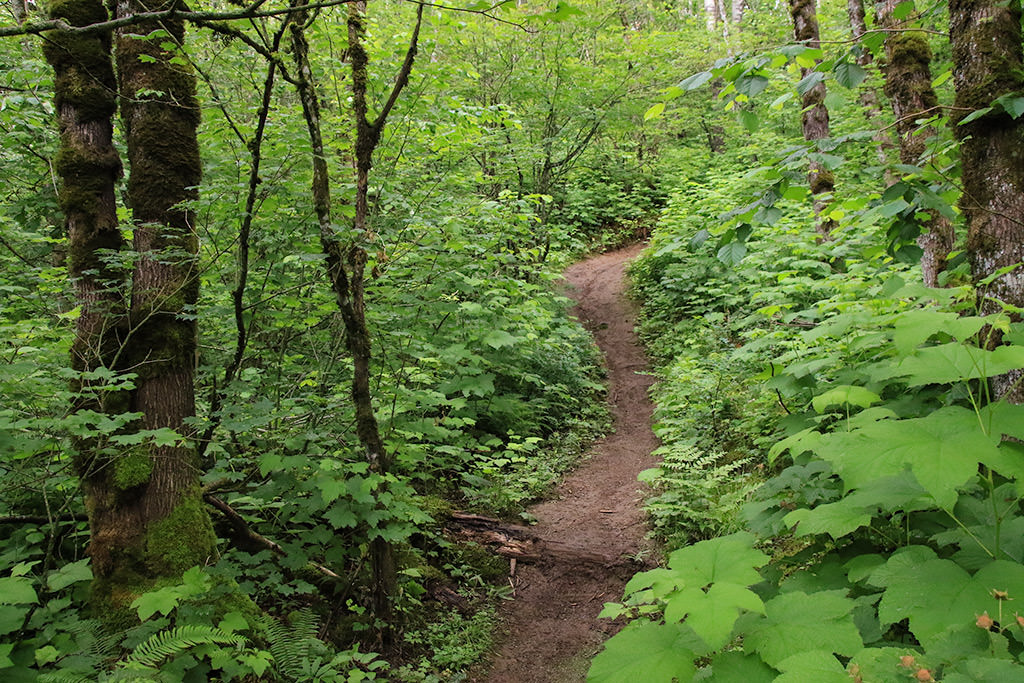
After hiking for about 10-minutes uphill and crossing the creek, watch for a 4-way junction where there is a trail on both your left and right. Go left onto the trail known as the Amy Fisher Trail, leaving the wide gravel trail. Almost immediately, go left again onto a trail called Mixed Bag Trail and walk down the short hill and across the creek, continuing along the forested trail. You are now on the correct route and following the Mixed Bag Trail will lead you to the top of McKee Peak.
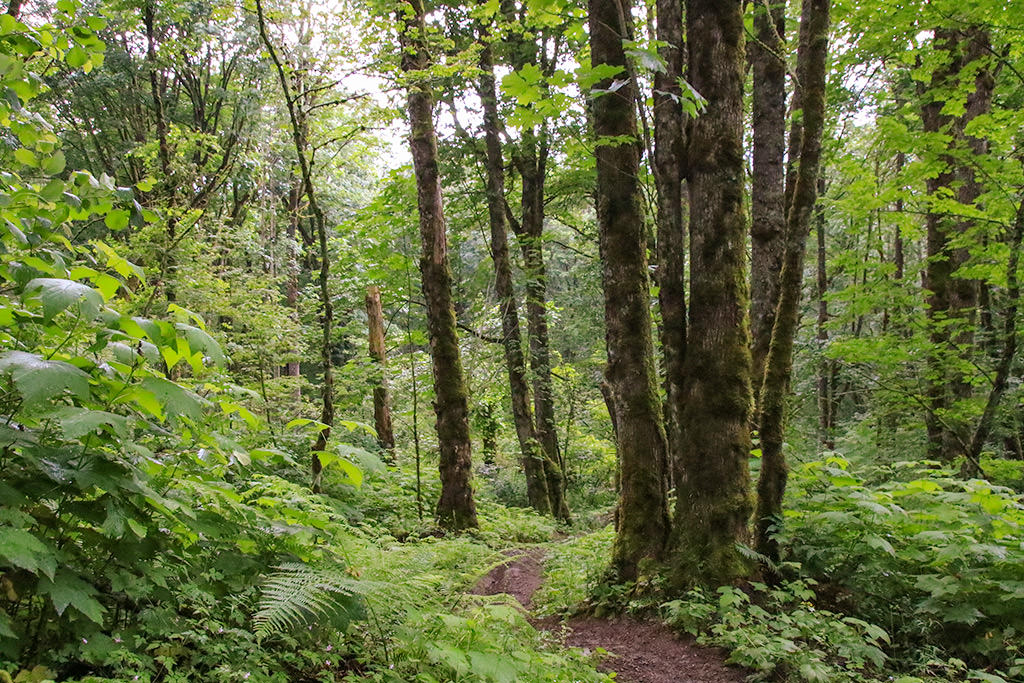
Follow the Mixed Bag trail as it meanders through the lush forest, crossing small creeks as it gradually climbs. At a 4-way junction, go straight as the trail begins to climb at a higher pace.
The trail eventually reaches another junctions and there will be several junctions that follow. In general, the key to following the correct route is to stay on the Mixed Bag trail and to continue hiking uphill. There are 3 junctions within a minute of each other, in order, at the first junction go, right, then left, then another left. After a few more minutes, go right at another junction and continue uphill.
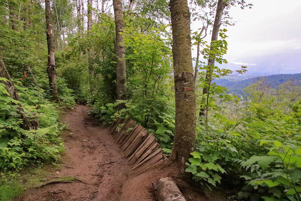
Just a short distance further and the trail you have been hiking on called Mixed Bag ends when it meets a trail called Paper Route. You will know you are in the correct place because there is a very steep hill on the left with some mountain bike obstacles and on the right, there is a view point with a steep drop. Go left and walk up the very steep hill, paying close attention to any mountain bikes that may be coming down the hill. Continue up the steep section, over the rocks, until you reach the top of the McKee Peak where the radio tower is located.
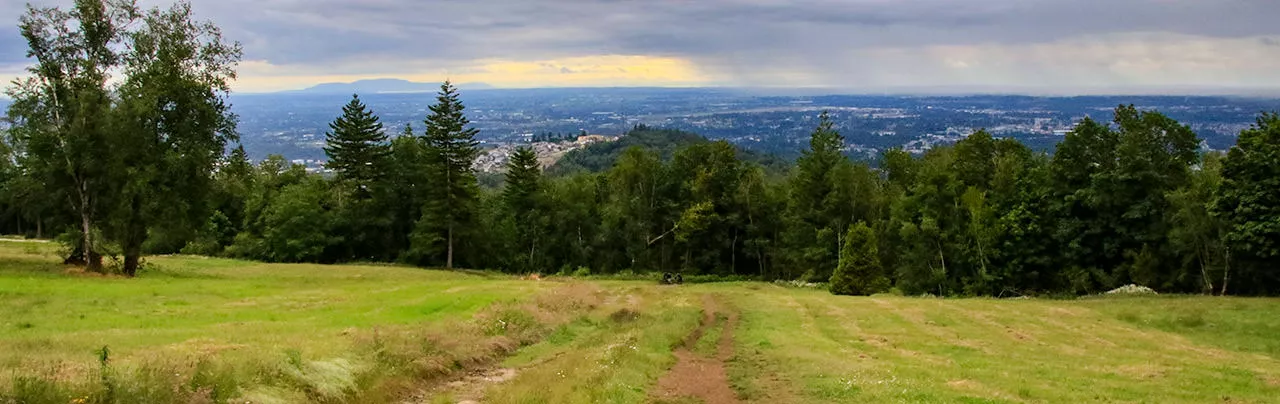
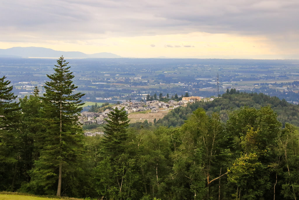
There is no view at the top of McKee Peak, so continue past the fenced in tower, staying to the right and following the trail as it gradually begins to descend. Within 5-minutes, the trails exits the forest at a clearing where there is a scenic view looking down towards Abbotsford and across the valley.
After enjoying the view, walk along the worn path, down the steep section of the clearing as you continue to enjoy the views. The trail re-enters the forest and is now a wide, gravel trail that is easy to follow. Stay on this wide gravel trail as it will take you all the way back to the parking area.
The wide trail continues descending and passes a metal gate. Sections of the trail are fairly flat and other sections descend quickly over loose rock, be sure to watch your footing as you go. Eventually, the trail's elevation drops quickly and you pass the junction that you took earlier to begin the loop. Stay on the wide gravel trail and follow it back, crossing the creek and keeping the creek to your left. Within minutes, you return to McKee Road close to where you parked.
How to get to Ledgeview Trail
Estimated Driving Time from Vancouver
1 hour
The Ledgeview Trails are located in Abbotsford on the west side of Sumas Mountain. The trails begin along McKee Road near the Ledgeview Golf and Country Club.
To drive to the Ledgeview Trails from Vancouver, drive eastbound on Highway #1, heading through Burnaby and across the Port Mann Bridge. Continue east along Highway #1 through the Fraser Valley.
Turn off the Highway at Exit #95: Whatcom Road. After exiting the highway, turn left, cross over the highway, and follow Whatcom Road uphill. When you reach McKee Road, turn right and drive for just over 1km. When you see the golf course on your left, watch for some gravel parking on the right side of the road and park in one of the spaces. The trail begins at the eastern end of the parking.
View a map of Driving directions to Ledgeview Trail.
Transit Access to Ledgeview Trail
There is a bus stop that is very close to the Ledgeview Trailhead and Bus #15: Auguston/Downtown stops here on Weekdays and Saturday. It's about a 15-minute bus ride from downtown Abbotsford and when you see the golf course on the left is when you will need to exit the bus.
On Sunday, the closest bus service is by taking Bus #9: McKee/Downtown and getting off the bus near Prince Charles Elementary School. However, from here, it is a 30-minute walk up McKee Road to the trailhead.
While it is possible to take transit from Vancouver, we are not recommending it as it will take more than 3 hours and 30 minutes each way, at the best of times. Taking transit from other locations in the Fraser Valley is possible to downtown Abbotsford, then take either Bus #15 or #9 as stated above.

Although we try to keep information as current as possible, www.vancouvertrails.com makes no warranty or representation as to the availability, quality, fitness for purpose, conditions or accuracy of the information provided with respect to this trail or trails. The information provided herein is further subject to our Terms of Use.
Comments
Add Comment View All Comments