- Difficulty Intermediate
- Time 3.5 hours
- Round-Trip 7km
- Elevation Gain 450 meters
- Season July - October
- Camping No
- From Vancouver 45 minutes
- Public Transit No
- Dog Friendly On-Leash
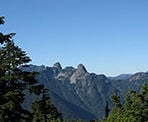
Hollyburn Mountain is the perfect hike to do when you only have half a day and want to escape into the wilderness. The peak offers a scenic view of sections of Vancouver, Burrard Inlet, and the Lions off in the distance.
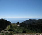
From the parking lot, walk past the BC Parks mapboard and veer left, following the uphill trail next to the power lines. As you stop to catch your breath, make sure to look back at the view of Vancouver and Georgia Strait below. After a steady 15-minute climb, the path levels out as you pass a Fourth Lake on your left.
Watch for a sign and a warming hut used by the cross-country skiers in the winter. Turn left and follow the trail towards Hollyburn Mountain. As you continue your hike, you pass through meadows of bushes, some of which are full of berries in the late summer and early fall. Be sure to watch for bears as they typically fill up on these berries just ahead of the hibernation season.
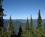
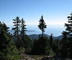
After walking through meadows for 20 minutes, a sign at a junction points the way to Hollyburn Mountain on the right. Go right and continue uphill for another 20 minutes as the trail weaves back and forth. At this junction, just a few steps to the right is a bench with a viewpoint of Grouse Mountain and the surrounding area in the distance. After taking in the view, head back to the main trail and continue your hike uphill. After another 20 minutes, the trees begin to thin and you arrive at a rocky outcrop, signaling the peak of Hollyburn Mountain. Climb to the top of this rocky section to take in the views of Georgia Strait, the Gulf Islands, and Vancouver's westside. Behind you stand both peaks of the Lions off in the distance as well as Grouse Mountain to the right.
After enjoying the view and fresh air, head back down towards the path that you arrived on following the trail downhill towards the meadows. The walk back seems to go much quicker than the one to the peak as you gradually make your way back towards the power line trail. At the warming hut, turn right and follow the trail next to the power lines back down towards the parking lot.
How to get to Hollyburn Mountain
Estimated Driving Time from Vancouver
45 minutes
Hollyburn Mountain begins from the cross-country skiing area at the Cypress Mountain Ski Resort in West Vancouver. To get to the starting point, head westbound along Highway #1 and take Exit #8 to Cypress Provincial Park. Follow the road uphill through the hairpin turns and past viewpoints of the city until you reach a junction. Turn right and a short distance later park near the mapboard just before the ski rental buildings. The trail begins just past the mapboard and follows underneath the power lines for the first section.
View a map of Driving directions to Hollyburn Mountain.

Although we try to keep information as current as possible, www.vancouvertrails.com makes no warranty or representation as to the availability, quality, fitness for purpose, conditions or accuracy of the information provided with respect to this trail or trails. The information provided herein is further subject to our Terms of Use.

Comments
Add Comment View All Comments