- Difficulty Intermediate
- Time 1.25 hours
- Round-Trip 3.1km
- Elevation Gain 65 meters
- Season year-round
- Camping No
- From Vancouver n/a
- Public Transit No
- Dog Friendly On-Leash
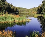
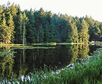
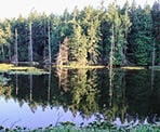
Greenburn Lake is located on south Pender Island and is part of the Gulf Islands National Park Reserve. The trail begins next to the Firehall and loops around the lake, providing hikers with scenic views and the occasional glimpse of beavers swimming in the lake.
The trail on the north side of Greenburn Lake is very rugged and difficult to follow at times. This is the reason for a "intermediate" rating as hikers who do the south side trail are often surprised at the challenging terrain of the north side and lack of any trail markers.
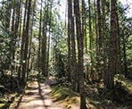
The trail begins on a wide gravel access road next to the South Pender Island Firehall. Walk past the gate and follow the route as it gently climbs uphill, making its way into the forest. The gravel road will begin to level and curve slightly just before approaching Greenburn Lake.
When the lake comes into view, walk down the hill to the right towards the dam. This will be the beginning of walking the lake loop in a counter-clockwise direction. Enjoy the view of the lake from the dam, then begin following the trail around the lake.
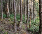
The trail on the south side of Greenburn Lake weaves its way through lush forest, going up and over small hills. There are not many views of the lake but the forest is beautiful and the trail is easy to follow, even though it's clearly not hiked as often as other trails. At the far end of the lake, the trail veers left and descends slightly before reaching a point where you get a view of the lake.
From the end of the lake, the hike back is a lot more challenging along the north side as there are several fallen trees to climb over and large boulders to climb up and down where you will have to use your hands for assistance. There are no trail markers, making the route difficult to follow, however there are sections of worn path between the boulders and as long as you stay relatively close to the lake, you will have no problems making your way at a much slower page back.
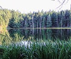
The north side of the lake also offers a few views as well, since the trail is closer to the lake. During the evenings, beavers can often be spotted swimming in the lake before slapping their tails on the water in the hope that they are scaring you off.
After making your way through the difficult terrain, the trail reaches a nice smooth dirt section and then slowly inclines, passing between one bushes and reaching the clearing back near the dam where you began your loop. Leave Greenburn Lake by following the gravel access road as it curves around before descending back downhill to the gate by the firehall where you began.
How to get to Greenburn Lake
Estimated Driving Time from Vancouver
n/a
Greenburn Lake is located on south Pender Island, just beyond Poets Cove and before the South Pender Island Firehall.
From the Driftwood Shopping Centre, drive south and leave the area as you follow Canal Road. Watch for signs to South Pender Island and turn left onto Canal Road (the same road name), passing a school on the left before driving across the single lane bridge connecting the islands. Immediate go left and continue to follow Canal Road.
Keep on the main road as it will eventually veer right, turning into Spalding Road. Following Spalding Road for some distance, passing the narrow section of road and then turning left at the intersection near Poets Cove onto Gowland Point Road.
The trailhead to Greenburn Lake begins at the end of the straight section of road past Poets Cove, right next to the Firehall. However, there is no parking near the firehall and the closest parking is some gravel just off of the road near the intersection of Gowland Point Road and the turn off to Poets Cove. You will then have to walk about 150 metres to the start of the trail.
View a map of Driving directions to Greenburn Lake.

Although we try to keep information as current as possible, www.vancouvertrails.com makes no warranty or representation as to the availability, quality, fitness for purpose, conditions or accuracy of the information provided with respect to this trail or trails. The information provided herein is further subject to our Terms of Use.

Comments
Add Comment View All Comments