

- Difficulty Easy
- Time 1.25 hours
- Round-Trip 4.8km
- Elevation Gain 180 meters
- Season March - November
- Camping No
- From Vancouver 2 hours, 45 minutes
- Public Transit No
- Dog Friendly Yes
 View Trail Map
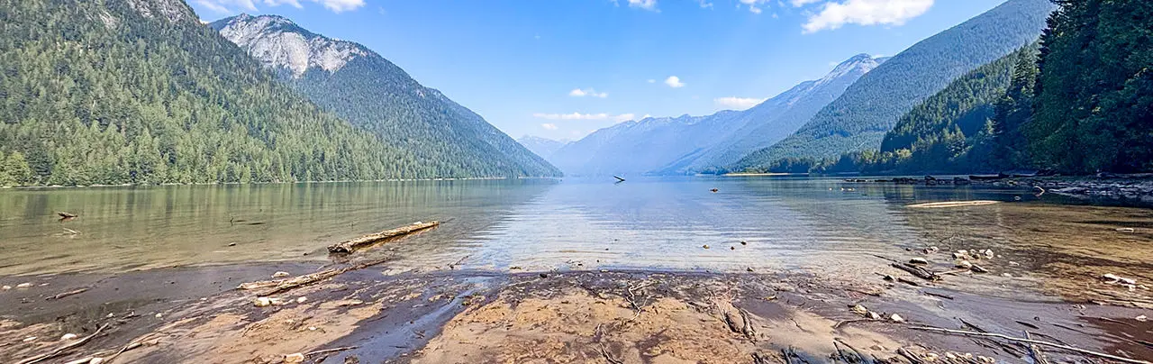
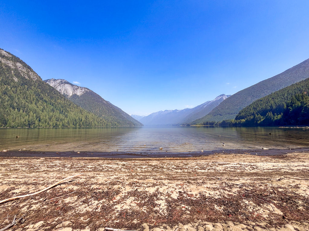
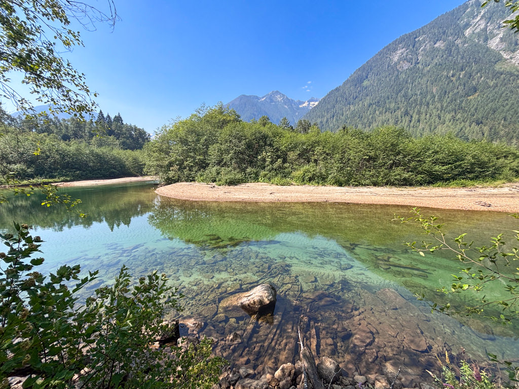
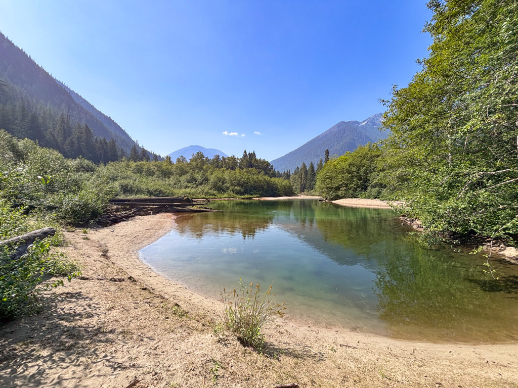
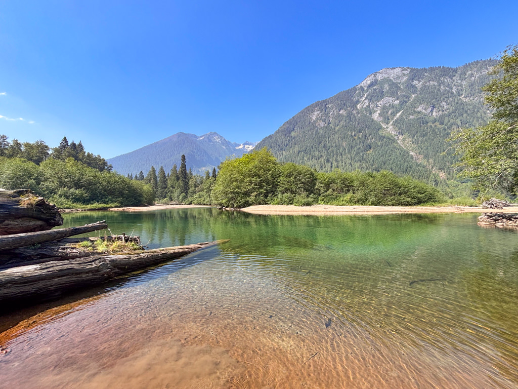
A trail along the south side of Chilliwack Lake leads to a beach area and the point where the Chilliwack River drains into the lake. The south end of the lake is generally more peaceful than the busy north side and the sandy beach area provides a great spot to enjoy, with scenic views of Mount Lindeman and MacDonald Peak.
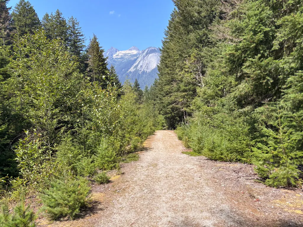
The trail begins from the gated forestry service road where it immediately crosses a bridge over Depot Creek. The trail follows an old logging road and is an easy grade for the entire route. Just 10 minutes into your walk, the first beach access is on the right where a very steep trail leads down to the water’s edge. While this is a nice beach, it’s worth continuing to the south beach area.
Follow the trail as it passes a large rock and continues along a narrower section, slightly descending as you make your way down to the lake. As the trail levels, you reach a sign that says “no campfires” and to the right, you can walk onto the south beach of Chilliwack Lake. From this beach, there are views of MacDonald Peak ahead and Mount Lindeman to the left.
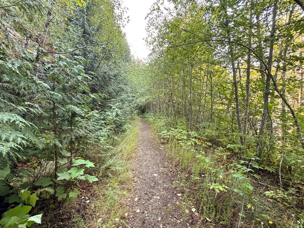
Return to the trail and step over a large log, continuing to follow the trail through an overgrown section of bush. After a few minutes, you reach a sign marking the Chilliwack River Ecological Reserve, a protected area along the Chilliwack River flood plain. Continue walking straight along the trail to the end where you suddenly emerge from the bushes at the calm Chilliwack River. A short distance back from the end point, there is a small beach along the river at the side of the trail, hidden by bushes, where a peaceful sandy beach is located with access to the river and some incredible views.
Note: There is a trail called the Chilliwack River Trail that begins from the Chilliwack River Ecological Reserve sign and heads south to the US border. Under no circumstances should you cross the International Border with the United States. Despite its remoteness, the border is monitored and the penalties when you cross the border that is NOT at an official port of entry are steep. As of 2026, the Chilliwack River Trail has lots of deadfall and has become overgrown in sections due to the lack of ongoing trail maintenance.
Whether you plan to spend some time along the beach near the Chilliwack River of on the south end of Chilliwack Lake, enjoy the peacefulness before heading back. Follow the trail away from the beach as it gently inclines, passing the large rock before returning to the bridge near where you started.
How to get to Chilliwack Lake South Beach
Estimated Driving Time from Vancouver
2 hours, 45 minutes
The Chilliwack Lake South Beach trail starts from the end of a forestry service road along Chilliwack Lake. Driving to the trailhead involves following a gravel forestry service road (FSR) for just over 10km past the end of the paved Chilliwack Lake Road. It's recommended to be in a higher clearance vehicle.
From Vancouver, drive eastbound on Highway #1, passing over the Port Mann bridge, and driving through the Fraser Valley. Continue driving through Abbotsford towards Chilliwack and take Exit #104: No. 3 Road towards Cultus Lake. Follow No. 3 Road to a stop sign, turn right, and immediately turn left back onto No. 3 Road. At a second stop sign, turn left onto Yarrow Road and drive through the town of Yarrow.
Continue following Yarrow Road as it turns into Vedder Mountain Road. Go straight through a road about and cross the bridge over the Vedder River. Immediately after crossing the bridge, turn right onto the Chilliwack Lake Road and drive 40km to the end of the paved road.
At the end of the paved section of Chilliwack Lake Road, go straight onto gravel road. There are some narrow sections along this road, particularly when the lake is in view, so be careful and allow vehicles coming in the opposite direction to safely pass. At a junction past the 9km mark, go right and down the hill. A short distance further, you reach a mound of gravel, where there is a small space on the left. There is an awkward dip next to the mound of gravel, so if you have a high clearance vehicle, you will be able to pass this and drive the extra 100 meters or so, otherwise you will have to park at this point and walk the short distance.
The trail begins at the gate next to the bridge.
View a map of Driving directions to Chilliwack Lake South Beach.
Although we try to keep information as current as possible, www.vancouvertrails.com makes no warranty or representation as to the availability, quality, fitness for purpose, conditions or accuracy of the information provided with respect to this trail or trails. The information provided herein is further subject to our Terms of Use.
Comments
Add Comment View All Comments