

- Difficulty Easy
- Time 2.5 hours
- Round-Trip 8.5km
- Elevation Gain 140 meters
- Season May - November
- Camping No
- From Vancouver 1 hour, 30 minutes
- Public Transit Yes
- Dog Friendly Yes
 View Trail Map
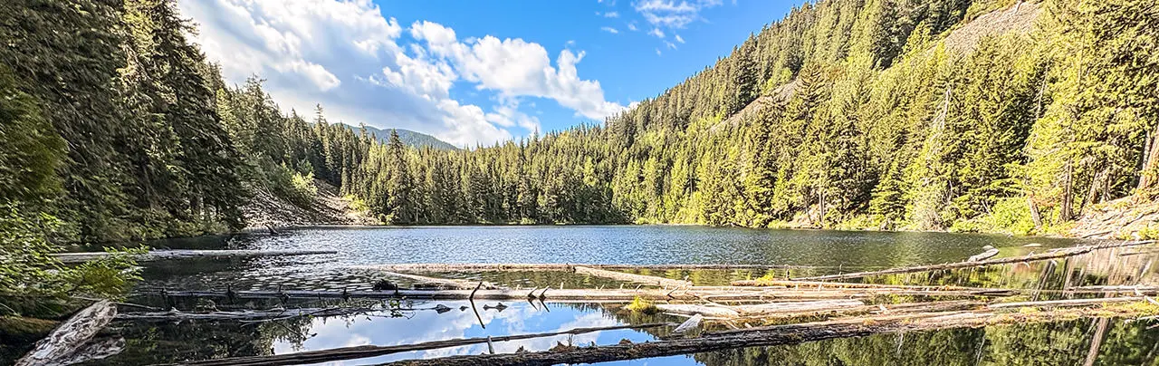
The Cheakamus River Loop offers a beautiful walk through the Whistler Interpretive Forest that follows the rugged canyon and rushing river below upstream and crossing a suspension bridge. The hike continues to the peaceful Loggers Lake before returning along the opposite side of the Cheakamus River.
The hike begins from the parking lot near Function Junction along Highway #99. Start on the forested trail with the sign post marked "Riverside" (the trail begins closer to the outhouse) and follow the trail as it climbs up a short hill. The path narrows and passes trees along a slope as you quickly make your way towards a gravel road.
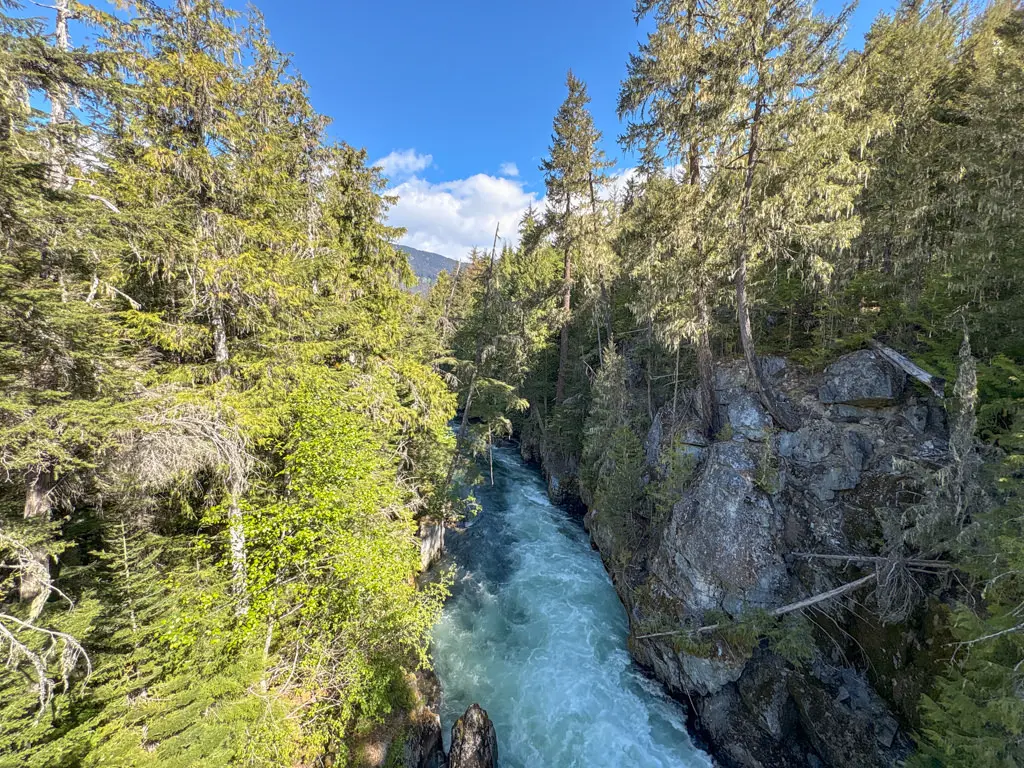
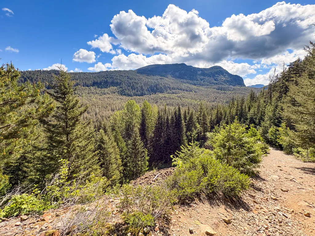
Cross the gravel road and join a trail on the other side. It maybe easier to walk up the road about 15 metres and walk down onto a less steep path to join the trail. This trail is not marked at this point but is called the Farside Trail. Walk along this trail in an upstream direction as it follows the Cheakamus River, offering occasional views of the canyon and rushing river below. Make sure to stay well back of any cliff edges as the water flow is unforgiving at any time of the year.
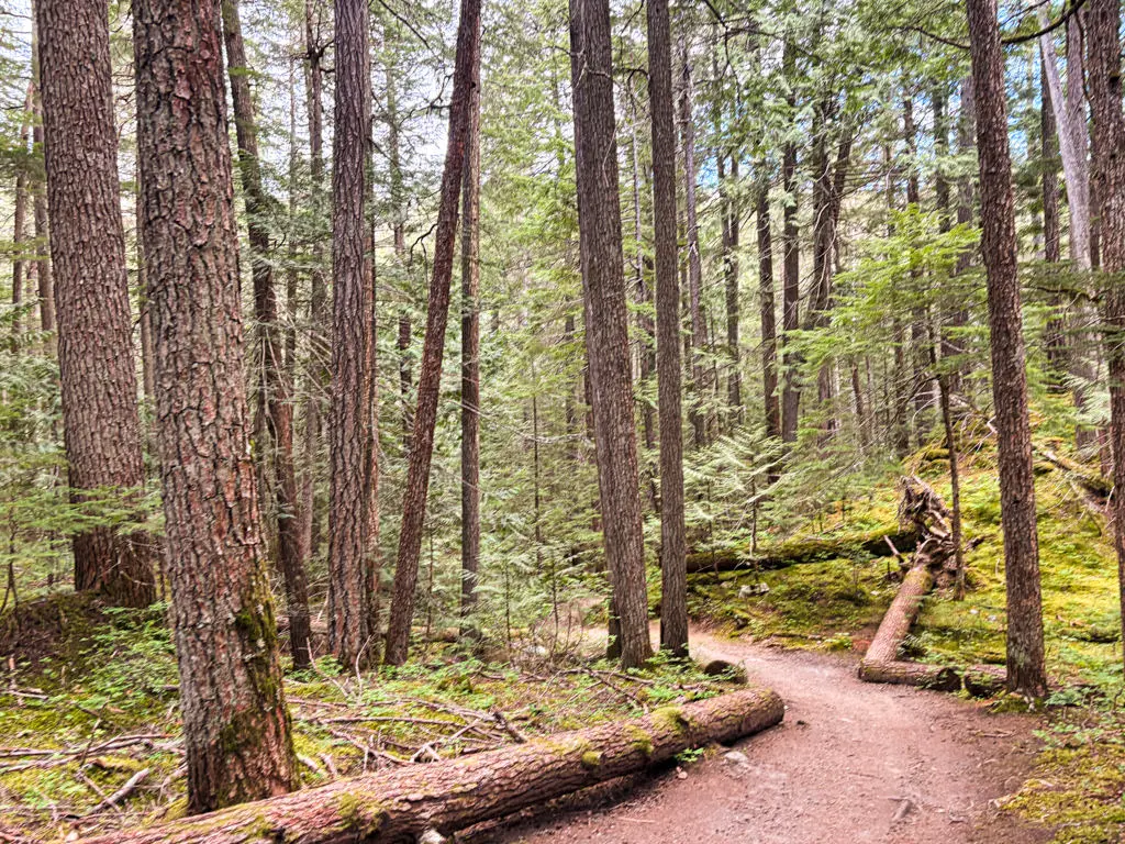
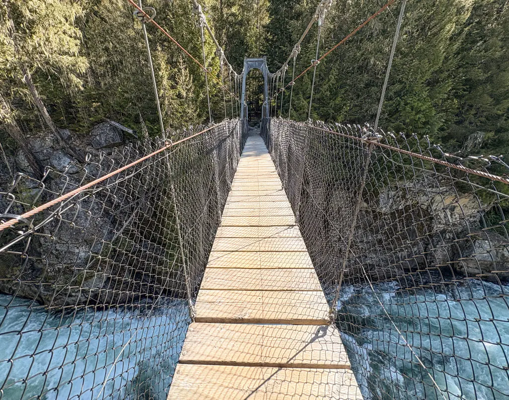
The Farside Trail meanders its way through the second growth forest that was heavily logged in the 1950's and 1960's before becoming the Whistler Interpretive Forest. The path is easy to follow with some ups and downs, but continue to stay on the trail closest to the river. The trail eventually reaches a suspension bridge called Maclaurin's Crossing. The vital crossing connects multiple trail networks on both sides of the canyon for hikers and mountain bikers and provides an incredible view of the rushing waters below.
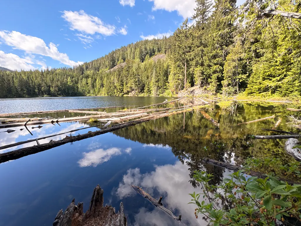
After crossing the Cheakamus River, you will have to decide whether to extend your hike to Logger's Lake. To do so, go left and follow the Riverside Trail in the upstream direction. The trail will continue along the river briefly before veering right and up a steep hill, arriving at the Loggers Lake parking lot area. Cross the gravel road and follow the rocky trail uphill as it climbs quickly. Pass the Crater Rim Trail sign and a short distance further, walk down the hill to the edge of Loggers Lake. Continue following the trail along the lakeside as it takes you to an open area with a scenic view of the lake.
Return to the Cheakamus River area by following the Loggers Lake trail back to the wide trail, then return down the steep, rocky hill to the parking lot area. Continue back onto the Riverside Trail at the end of the parking lot as it descends quickly, then follows alongside the Cheakamus River back towards the suspension bridge.
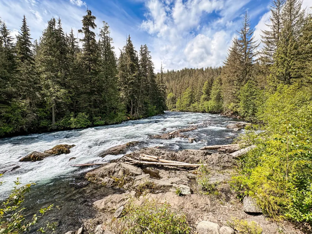
Do not cross the suspension bridge, instead, follow the Riverside Trail in the down stream direction as you return to the trailhead on the other side of the Cheakamus. The trail winds its way through the forest briefly, then ascends up a hill before flattening out and descending once again. There are a couple of viewpoints along the trail where you can stand near the edge of the river and get a good glimpse of the rapids and water rushing over the canyon rocks.
Continue to follow the Riverside Trail until it reaches a paved road, then go right and walk down the road, staying to the right, and crossing the bridge over the Cheakamus River. Immediately after crossing the bridge, cross the road and walk up the gravel path onto a paved path with lighting that is shared by pedestrians and cyclists. Follow this paved path to the right as it returns to the parking lot where you began your hike.
How to get to Cheakamus River Loop and Loggers Lake
Estimated Driving Time from Vancouver
1 hour, 30 minutes
The Cheakamus River Loop and Loggers Lake hike begins from a parking lot on the east side of Highway #99 at Function Junction in Whistler, BC.
To drive to the trailhead from Vancouver, make your way to Highway #1 (Trans Canada Highway) and head westbound towards Horseshoe Bay. Follow the signs onto Highway #99, the Sea To Sky Highway, heading northbound. Continue to follow the Sea To Sky Highway as it passes through the town of Squamish and continues to Whistler.
As you approach Whistler, turn right at the first traffic lights at Function Junction and immediately turn left into a parking lot. The trail begins at the small "Riverside" sign near the outhouses.
View a map of Driving directions to Cheakamus River Loop and Loggers Lake.
Transit Access to Cheakamus River Loop and Loggers Lake
There is transit service to the trailhead via BC Transit that connects with Whistler Village and Creekside. The bus stops across the street coming from the Village and there is a returning stop right next to the parking lot where the trailhead is located. Check with BC Transit for schedule times and fares.
Although we try to keep information as current as possible, www.vancouvertrails.com makes no warranty or representation as to the availability, quality, fitness for purpose, conditions or accuracy of the information provided with respect to this trail or trails. The information provided herein is further subject to our Terms of Use.
Comments
Add Comment View All Comments