- Difficulty Easy
- Time 2.5 hours
- Round-Trip 6km
- Elevation Gain 190 meters
- Season July - September
- Camping No
- From Vancouver 30 minutes
- Public Transit Yes
- Dog Friendly No
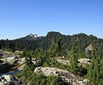
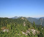
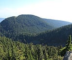
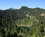
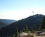
Thunderbird Ridge is a relatively quick hike from the top of Grouse Mountain that offers scenic views of Crown Mountain, Kennedy Lake, and the city of Vancouver on a clear day. The trail is accessed along the Alpine Trail behind Grouse Mountain, the same route that goes towards Goat Mountain. This trail can be done as a short side trip for any of the other hikes in the area, including Dam Mountain, Goat Mountain, Crown Mountain, Little Goat Mountain, or the Hanes Valley.
From the area around the Grouse Mountain chalet, walk towards the bottom of the Peak ski run, passing the Grizzly Bear enclosure on your left. Just to the left of the ski run, follow an old gravel road that wraps around the mountain and gives the occasional glimpse of Georgia Strait. Where the road ends, follow the wide trail up the loose gravel as the route quickly narrows into a hiking path.
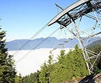
Watch for a sign, which is a junction point to either take the Alpine or Ridge trails. Go right and follow the route to the Alpine Trail, passing under a pipe and continuing uphill until you reach a zipline platform. Go left at the zipline and follow the trail as you begin to leave the busy crowds at Grouse Mountain behind.
Not far along the trail, you reach a sign marking the way to Thunderbird Ridge. Go right at this junction and follow this route as it descends, passing through the low vegetation along the ridge. The trail continues, with the occasional view of Kennedy Lake to your left, before climbing up onto a rocky outcrop. This viewpoint is Thunderbird Ridge and is a great place to stop for lunch or a rest and enjoy the views on a clear, sunny day.
After taking in the view, retrace your footsteps back towards the junction at the Alpine Trail and go left, passing the zipline, descending down the steep hill to the old gravel road, and returning back to the Grouse Mountain area.
How to get to Thunderbird Ridge
Estimated Driving Time from Vancouver
30 minutes
The hiking trail to Thunderbird Ridge is located behind Grouse Mountain and the easiest way to the trailhead is to take the Grouse Mountain Skyride and start from the top. To reach the base of the Grouse Mountain Skyride from downtown Vancouver, drive towards Georgia Street and turn, heading westbound. Follow Georgia Street as it turns into the Stanley Park Causeway and crosses the Lions Gate Bridge. As you exit the bridge, stay to your right and take the first off-ramp on the right heading towards North Vancouver and Capilano Road. Merge into one of the two left lanes and at the first set of lights, turn left onto Capilano Road. Follow Capilano Road to the very end as it eventually turns into a single-lane road, passes the Capilano Suspension Bridge, the turnoff to the Salmon Hatchery, and Cleveland Dam. At the top of the hill, you will reach the Grouse Mountain Skyride.
View a map of Driving directions to Thunderbird Ridge.
Transit Access to Thunderbird Ridge
To reach the base of the Grouse Mountain Skyride by bus from downtown Vancouver, take the Seabus from Waterfront Station across the Harbour to Lonsdale Quay. At the bus terminal there, take bus #236 Grouse Mountain. The bus takes awhile but the final stop will be at Grouse Mountain.
Alternatively, there is a free shuttle service in the summer months run by Grouse Mountain that travels from Canada Place to the base of the mountain. Call Grouse Mountain to check when it's in operation.

Although we try to keep information as current as possible, www.vancouvertrails.com makes no warranty or representation as to the availability, quality, fitness for purpose, conditions or accuracy of the information provided with respect to this trail or trails. The information provided herein is further subject to our Terms of Use.

Comments
Add Comment View All Comments