- Difficulty Easy
- Time 0.75 hours
- Round-Trip 2km
- Elevation Gain minimal
- Season year-round
- Camping Yes
- From Vancouver 1 hour 30 minutes
- Public Transit No
- Dog Friendly Yes
Trail Notice
Golden Ears Provincial Park is currently closed due to events surrounding the recent atmospheric river, including high water levels and damage to roads used to access the park.
Mike Lake is a short but scenic trail located in Golden Ears Provincial Park. A lot of hikers pass by the lake on the way to Alouette Mountain but the trail is also perfect for families wanting a short nature walk.
We will follow the trail in a clockwise direction starting from the yellow gate at the end of the gravel parking area. Walk past the gate and continue along the gravel road. This access road connects to the Malcolm Knapp Research Forest that is managed by the University of British Columbia. After a short walk, go right at the sign marking 'Lake Trail'.
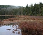
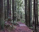
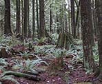
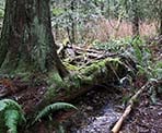
Follow the trail as it weaves its way downhill, over many tree roots through the calm and quiet forest. As the trail levels, you catch a quick glimpse of the lake. Continue following the trail and a few minutes later, you reach a much clearer view of the lake from the north side.
After enjoying the view, continue following the trail as it makes its way through the lake side forest before reaching a junction. Go left at the junction. Do NOT go right as the trail abrupt ends in a dense brush area.
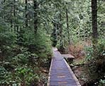
Only a short distance later and the trail merges with the Incline Trail, the route used to reach the much more difficult Alouette Mountain Trail. Cross the wooden bridge on the right and a short walk brings you to the gravel road you drove up earlier. Go right up the right and return to the parking lot.
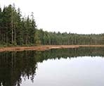
Before returning to the car, walk down the gravel trail at the edge of the parking lot and out onto the wooden dock for a complete view of Mike Lake.
How to get to Mike Lake
Estimated Driving Time from Vancouver
1 hour 30 minutes
Mike Lake is located in Golden Ears Provincial Park near Alouette Lake in Maple Ridge. To get to the park from Vancouver, take Highway #1 eastbound and take Exit #44 (before the Port Mann Bridge) toward Pitt Meadows / Maple Ridge. Turn left at the lights and drive a short distance to the lights before turning right onto healin the Mary Hill Bypass. Merge right onto Lougheed Hwy and continue over the Pitt River Bridge towards Maple Ridge.
At the major intersection of Lougheed Hwy and Dewdney Trunk Road, turn left and continue until 232nd Street. Turn left on 232nd Street and continue for just over a kilometer, watching for a small park on your right. Just after the park, turn right onto Fern Avenue. Continue winding your way along Fern Avenue as the houses disappear and trees begin to appear. You have now entered Golden Ears Provincial Park. The turn off for Mike Lake (and the Ranger Station) is located 4.5km from the park gates. Watch for a sign and gradually slow down before turning left onto the gravel road. Turn left immediately and follow the gravel road uphill until you reach the final parking area.
View a map of Driving directions to Mike Lake.

Although we try to keep information as current as possible, www.vancouvertrails.com makes no warranty or representation as to the availability, quality, fitness for purpose, conditions or accuracy of the information provided with respect to this trail or trails. The information provided herein is further subject to our Terms of Use.

Comments
Add Comment View All Comments