- Difficulty Easy
- Time 1 hour
- Round-Trip 2km
- Elevation Gain 50 meters
- Season year-round
- Camping No
- From Vancouver 2 hours
- Public Transit No
- Dog Friendly On-Leash
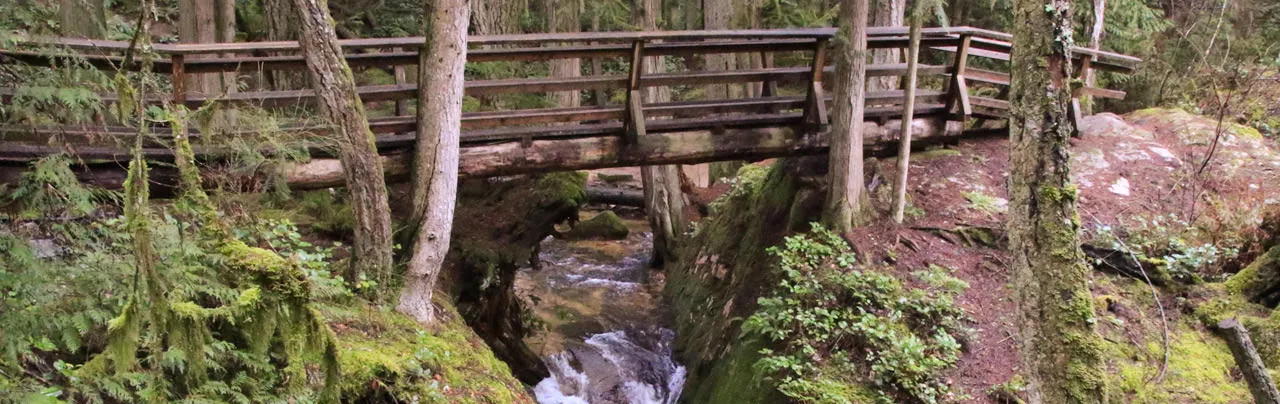
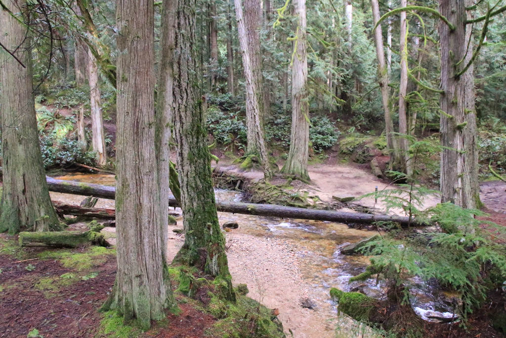
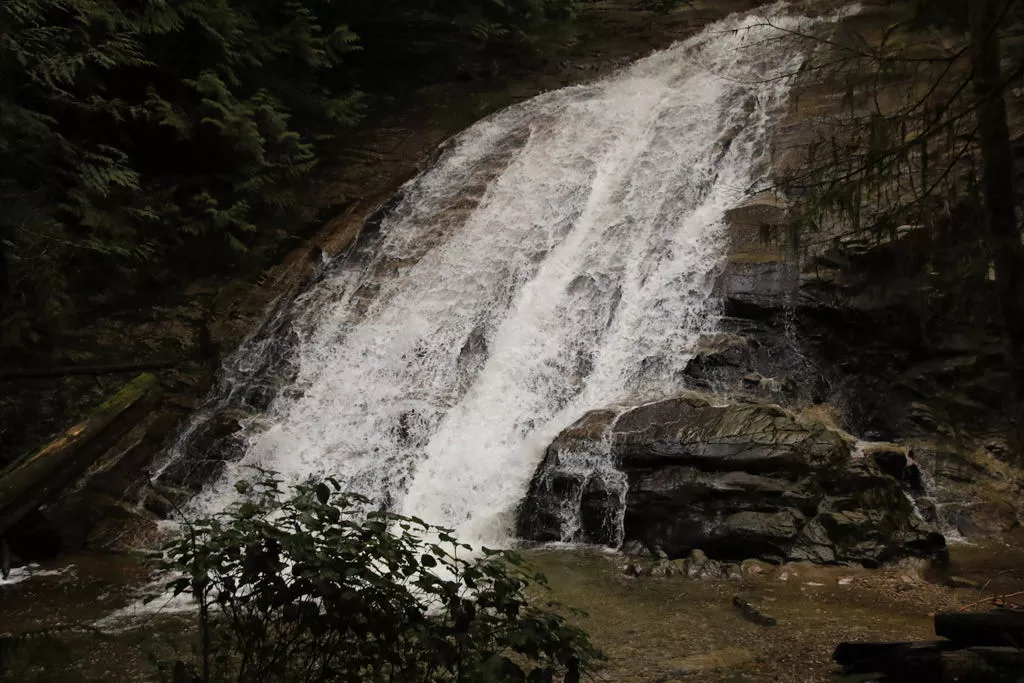
Cliff Gilker is located in Roberts Creek on the Sunshine Coast and has a network of easy hiking trails that pass several scenic waterfalls. The park offers a perfect hike for families to explore the bridges, forest, and terrain along several picturesque creeks.
There are a mix of trails in the park that are colour coded by Yellow, Green, Red, and Blue trails. You can pick your own route along multiple trails to explore as the trails and junctions are very well marked. The description below follows the Yellow trails along Clack Creek and then branches off onto the Green Trail before looping back along the south eastern portion of the Red trail.
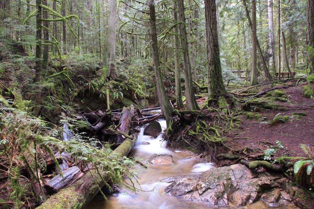
From the gravel parking lot near the soccer field, walk towards the building at the end of the parking lot and follow a trail behind the building into the forest. Go right and follow the Yellow Trail downhill, watching for views of Clack Creek, the spectacular waterfall, and the bridges that cross the creek. Stay on this side of the creek and follow the Yellow trail to the bottom of the trail as you enjoy the scenic views.
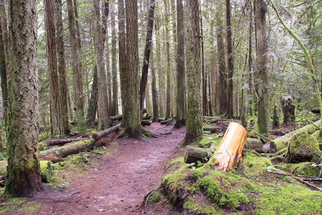
At the bottom of the Yellow trail, cross the bridge and then go right, following the southern part of the Red trail. At a second junction, go left and continue to follow the Red trail as it begins to climb uphill, making its way through the lush forest. The uphill section continues for quite sometime but is relatively gentle as you cross the occasional small, wooden bridge.
When you reach the junction with the Green trail, you can continue on the Red trail for a longer hike, or, go left and follow the Green trail. The trail is relatively flat through this section and can be quite muddy after rainfalls.
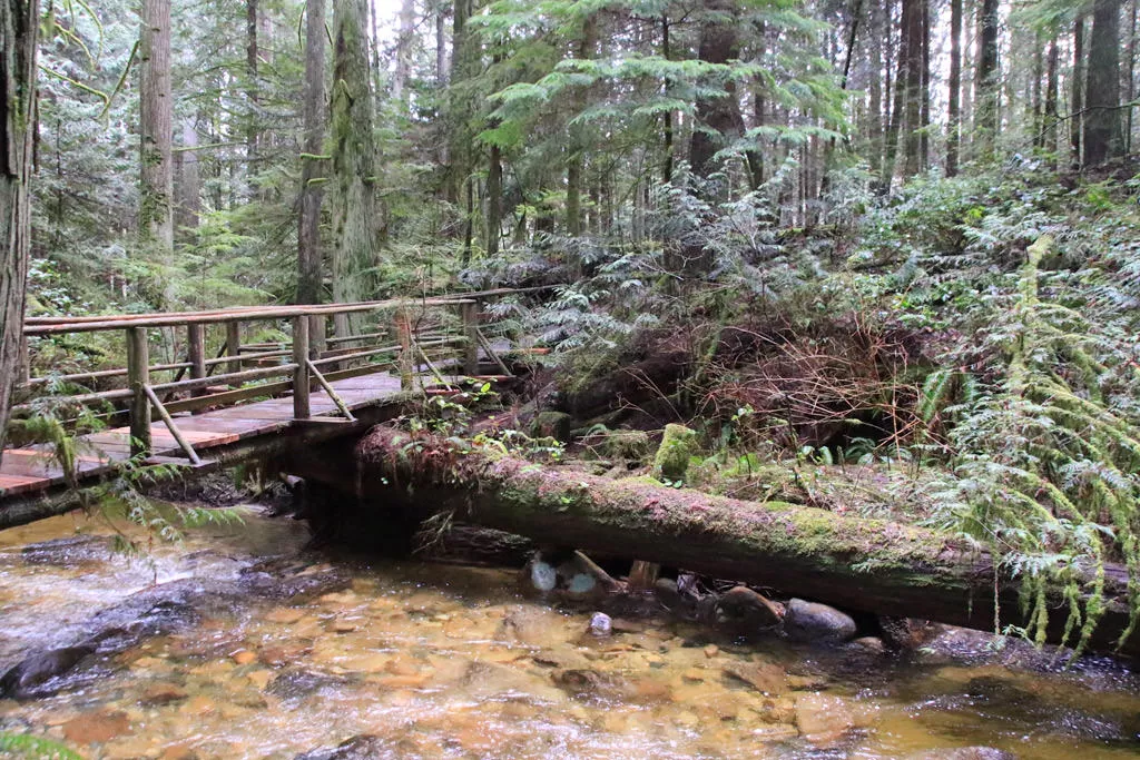
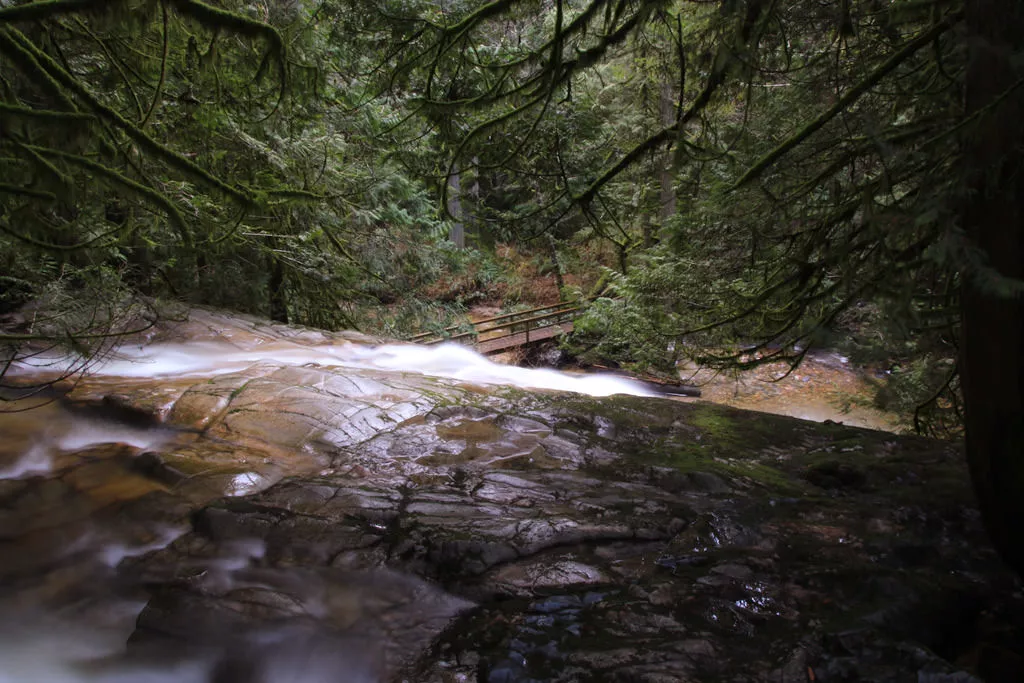
Eventually, the Green trail arrives at a junction with the Red trail. Go left and walk a short distance to the Yellow trail. Cross over a wooden platform above the waterfall area and you return to the area near where you began your hike behind the building near the parking lot.
At any point, you can extend your hike and explore all of the bridge crossings along the Yellow trail. All of them are very scenic and offer unique views of several waterfalls.
How to get to Cliff Gilker Park
Estimated Driving Time from Vancouver
2 hours
Cliff Gilker Park is located on the Sunshine Coast in the community of Roberts Creek. If you are traveling from Vancouver, you will need to take the ferry from Horseshoe Bay to Langdale (Gibsons) and drive north along Highway 101 to Roberts Creek.
From Gibsons, drive north on Highway 101 for about 14km. Watch for signs to Cliff Gilker Park and turn right onto the gravel road (if you pass a golf course on the right, you just missed the turnoff). Follow the gravel road to the top where there is a parking lot next to several sports fields.
View a map of Driving directions to Cliff Gilker Park.

Although we try to keep information as current as possible, www.vancouvertrails.com makes no warranty or representation as to the availability, quality, fitness for purpose, conditions or accuracy of the information provided with respect to this trail or trails. The information provided herein is further subject to our Terms of Use.
Comments
Add Comment View All Comments