- Difficulty Easy
- Time 1 hour
- Round-Trip 2.8km
- Elevation Gain 70 meters
- Season year-round
- Camping No
- From Vancouver n/a
- Public Transit No
- Dog Friendly On-Leash
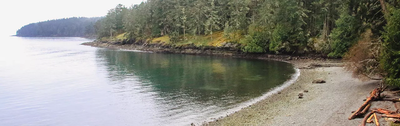
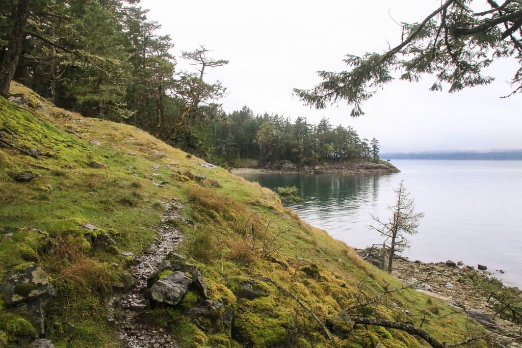
The Chris Hatfield Trail is located on Salt Spring Island and goes to Yeo Point in Ruckle Provincial Park, offering incredible coastal views looking towards Pender Island and Prevost Island. The route descends gradually along a forest trail down towards the coast, where there is access to a rocky beach and several nearby viewpoints.
The trail begins near the cul-de-sac on Meyer Road, however do not walk down any of the driveways belonging to the local property owners. The trailhead is located between two driveways with a sign marking the start of the Chris Hatfield Trail. It is also worth noting that this is a much shorter route to Yeo Point than beginning from Beaver Point Provincial Park or Ruckle Provincial Park.
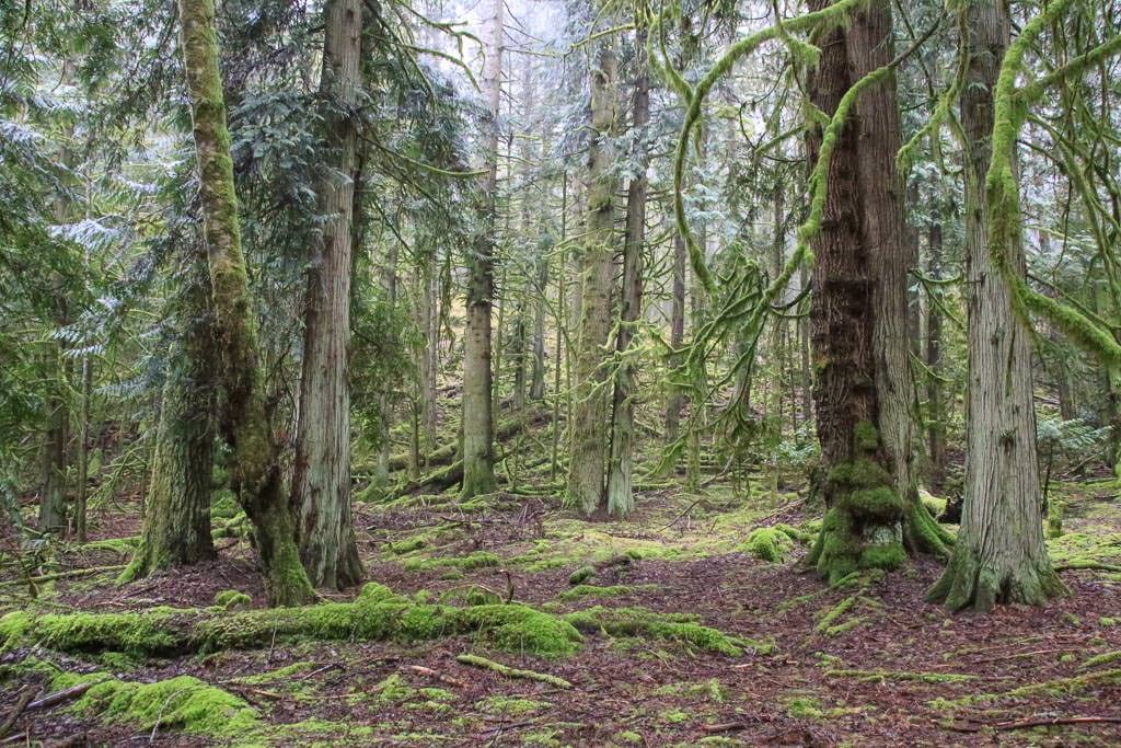
Follow the trail as you begin to descend along a trail that passes in-between the fences of private property. The trail will begin to descend at a steeper pace as you walk through the beautiful, lush forest. At a junction, go straight and then go straight at a second junction, staying on a narrower hiking-type trail.
The trail goes down a semi-steep section and eventually reaches a dirt road crossing. Cross the road and continue along the trail on the other side as the route abruptly swerves to the right, before going left again and crossing a small wooden bridge over a creek. The trail continues through the forest until it reaches a park sign along the coastal trail with directions to several points of interest.
From the sign, it's just a short work down to a rocky beach area. If you go left, you can walk about 5 minutes to Yeo Point where some of the best views can be seen on a clear day. The views will look out towards Pender and Prevost Island and you will often see ferries passing by as several routes use the waterways off of this area of Salt Spring Island.
After enjoying the area, you can return to the park sign, just up from the beach, and begin walking up the trail, passing through the forest. Cross the wooden bridge and go straight at the junctions as you continue uphill, eventually returning to the trailhead where you began.


How to get to Chris Hatfield Trail
Estimated Driving Time from Vancouver
n/a
The Chris Hatfield Trail begins near a cul-de-sac on Meyer Road on Salt Spring Island, BC.
To drive to the trailhead from the town of Ganges, drive south following the main Fullford-Ganges Road as you leave town. After about 4km, turn left onto Cusheon Lake Road. Drive just over 2km and turn right onto Stewart Road as you follow the route up a hill and down to a stop sign at an intersection. At the intersection, turn left and follow Beaver Point Road.
Continue driving for about 1.5km and then turn left onto Bulman Road. This is a gravel road but is well maintained and drivable by cars, however there may be a few potholes, so drive slowly. Follow Bulman Road until the end, where you reach Meyer Road. Turn right onto Meyer Road and drive downhill to the cul-de-sac.
Park along the side of the cul-de-sac but be sure not to block any of the nearby driveways.
View a map of Driving directions to Chris Hatfield Trail.

Although we try to keep information as current as possible, www.vancouvertrails.com makes no warranty or representation as to the availability, quality, fitness for purpose, conditions or accuracy of the information provided with respect to this trail or trails. The information provided herein is further subject to our Terms of Use.
Comments
Add Comment View All Comments