- Difficulty Easy
- Time 1 hour
- Round-Trip 4.2km
- Elevation Gain minimal
- Season year-round
- Camping Yes
- From Vancouver 1 hour
- Public Transit Yes
- Dog Friendly Yes
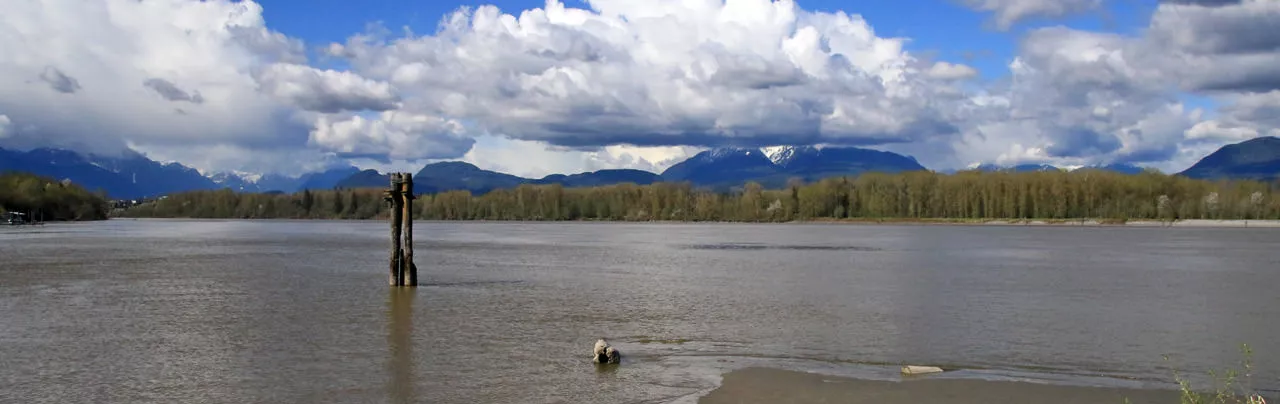
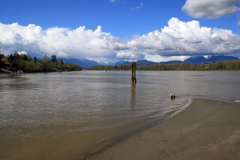
The short walk to Tavistock Point on Brae Island offers scenic views of the surrounding Fraser River and distant Coastal Mountain range. The route is a wide gravel trail that is perfect for families and campers staying at the Fort Camping campsite.
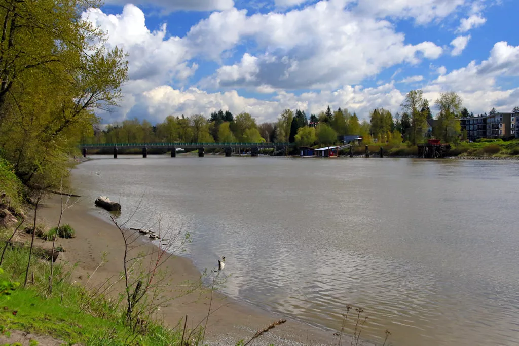
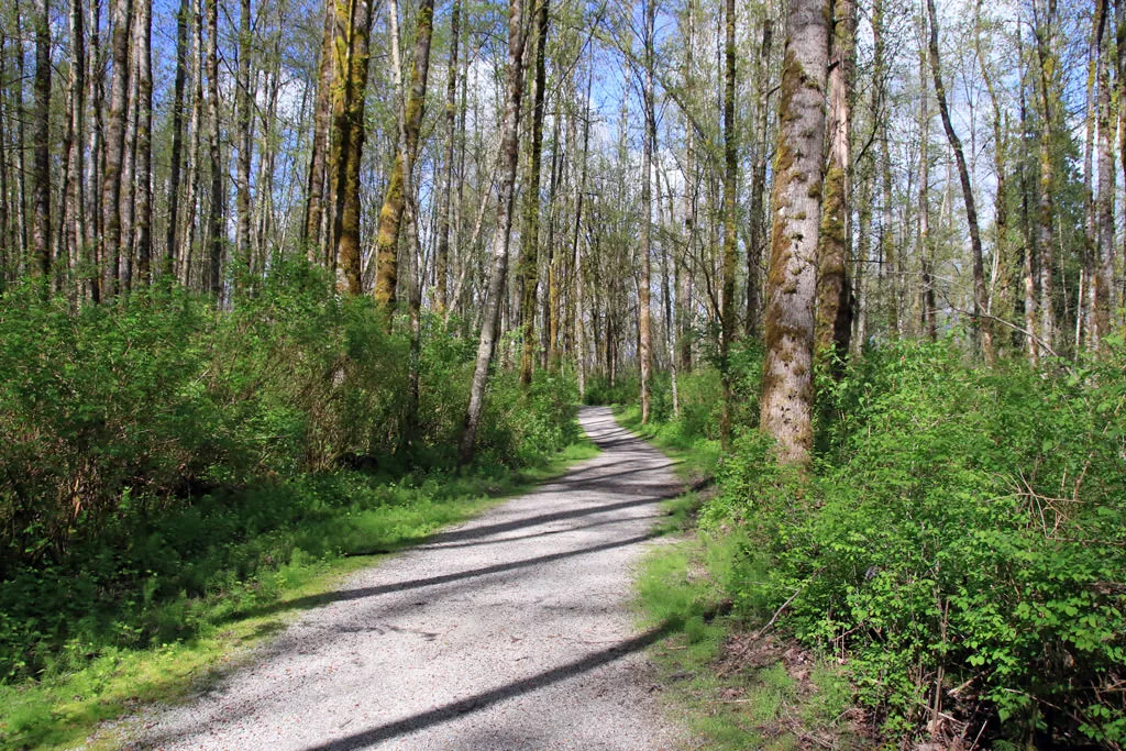
From the gravel parking lot, walk past the map of the area and along the gravel trail as it follows along the boundary with the campsite. After passing the end of the campsite, the trail briefly follows near the shoreline before reaching an open picnic area. Continue along the wooded trail until you reach a 4-way junction. Go left for a short walk to view the first viewpoint of the Fraser River on the west side of the island. Return to the trail and go left towards Tavistock Point.
A short distance later, you reach another junction with a short trail on your left to the second viewpoint. After checking out this view, return to the trail and walk past the Tavistock Loop junction, continuing a short distance to the end of the trail. Tavistock Point marks the northern tip of Brae Island and on a clear day has scenic views of the Fraser River and both shorelines.
Once you've soaked in the view, walk back along the trail to the Tavistock Loop junction and go left for an alternate return route. Not far along, you reach a view point of the distant Coastal Mountain range. Continue walking along the loop as it weaves through the forest and across small wooden bridges before meeting up with the main trail. Go left at the junction and walk back, passing the picnic tables and alongside the campsite before reaching the gravel parking lot.


How to get to Brae Island Regional Park
Estimated Driving Time from Vancouver
1 hour
Drive east and enter Highway #1 (the Trans Canada Highway) heading eastbound. Drive through Burnaby, across the Port Mann Bridge, and continue to Exit #66, the 232nd Exit North to Fort Langley. Drive North on 232nd as it weaves around a sharp corner and reaches a stop sign. Turn right onto Glover Road and go straight into the town of Fort Langley. Continue straight across the bridge and look for Fort Camping to your left. Park in the gravel day-use parking lot.
View a map of Driving directions to Brae Island Regional Park.
Transit Access to Brae Island Regional Park
While it is possible to take public transit to Fort Langley, it is an extremely long trip that includes many transfers. For those willing to try, the C62 Bus from Walnut Grove via Fort Langley is the bus that you need to take. Getting to this bus from Surrey or Langley may not be too difficult but it's challenging from Vancouver.

Although we try to keep information as current as possible, www.vancouvertrails.com makes no warranty or representation as to the availability, quality, fitness for purpose, conditions or accuracy of the information provided with respect to this trail or trails. The information provided herein is further subject to our Terms of Use.
Comments
Add Comment View All Comments