Snowshoe Trails Near Vancouver
The mountains around Vancouver offer some of the best snowshoe trails during the winter months. The snowshoe routes are generally best done during the months of December – April, depending on how much snow has fallen and how quickly the melt off occurs during the spring.
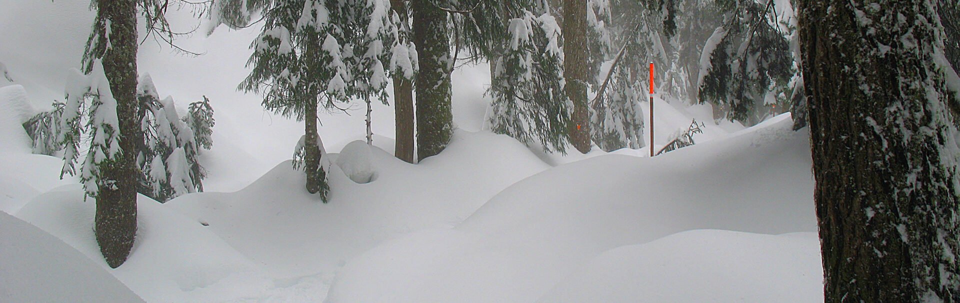
A few words about safety before you head out on your snowshoe adventures:
- Always tell someone where you are going and leave a detailed trip plan that includes when you will be back.
- Never snowshoe or hike alone.
- Take the 10-essentials.
- Stay on marked routes and do not venture off the snowshoe trail routes.
- Check the local weather conditions before you leave.
- Check the avalanche conditions and make sure to take proper safety equipment. It’s highly recommended you take a course that provides training so you can be prepared to recognize the dangers of avalanches, cornices, and other hazards during winter conditions.
Here are some of the best snowshoe routes near Vancouver that are free:
Dog Mountain
Starting near the parking lot at Mount Seymour, the snowshoe trail to Dog Mountain is one of the most popular winter routes near Vancouver. The route is about 5km roundtrip and does ascend through several sections but is relatively easy for a snowshoe trail. Continue past First Lake along the well marked route until you reach the end of the trail at Dog Mountain. The reward on a clear sunny day is an incredible view towards downtown Vancouver.
To extend your trip in the way back, go left at the junction by First Lake and follow the trail up to Dinky Peak. Loop back down towards the parking lot as the trail follows a forested route, just off to the side of one of the downhill ski runs.
Hollyburn Mountain
The snowshoe trail to Hollyburn Mountain is the most popular route in Cypress Provincial Park. The trail begins from the cross-country ski parking lot near the BC Parks signboard and follows a route up a steep hill to the left of the power lines. The trail veers left, moving away from the power lines and following a forested route. There are several steep sections, making this route quite challenging at times but the views from the top looking out into the backcountry mountains are incredible.
The snowshoe trail to Hollyburn Mountain is about 7km roundtrip, gains 450-metres in elevation, and takes roughly 3-4 hours to complete.
Snowshoe Grind
https://www.instagram.com/p/CMYoR3hBVzO/
Grouse Mountain’s winter answer to the Grouse Grind, the Snowshoe Grind is not quite as challenging as the summer route and it follows a different trail that begins from the top of Grouse Mountain and goes to Dam Mountain. The route begins just out the chalet and is 4.3km roundtrip with a gain of 215-metres. The snowshoe Grind takes roughly 1-hour to complete, depending on snow conditions.
From the chalet, the trail follows a route along the edge of the ski runs before following a snow-covered road into the backcountry. At the end of this road, the route climbs steeply as you make your way to the top of Dam Mountain. Depending on the conditions, the route beyond Dam Mountain may be marked and you can follow this as it descends and then loops back, sometimes being able to snowshoe out to Thunderbird Ridge.
Elfin Lakes
https://www.instagram.com/p/BO6UEcqgROs/
Located near Squamish, the route to Elfin Lakes is 22km roundtrip and gains about 600-metres in elevation, making it a challenging snowshoe trail. However, it is a popular winter camping route as the hut located at the lake sleeps 33 people. Reservations are required to stay at the hut and can be made through BC Parks (http://www.env.gov.bc.ca/bcparks/reserve/garibaldi/)
The trail follows an old logging road as it climbs gently for about 5km until you reach the hut at Red Heather Meadows. Continue for another 1km to where the route follows a ridge with sweeping views of the surrounding landscape on a clear day. At about the 11km, you make the final descent to Elfin Lakes.
Zoa Peak
While the drive from Vancouver is about 2-hours, the snowshoe hike to Zoa Peak is one of the most scenic. This route is challenging and should only be done by those with experience.
The route to Zoa Peak is located along the Coquihalla Highway near exit 221-Falls Lake. The route is about 11km roundtrip and gains 630-metres and can be quite a workout as it steadily climbs. Views from the top are spectacular and on a clear day, you can see Nak & Yak Peaks, Jim Kelley Peak, Coquihalla Mountain, Falls Lake and much more. Be during the steep descent as you make your way back down to the parking area, soaking in the views along much of the route.
The above routes are all free trails. While some are located at Cypress and Seymour, they are BC Parks trails and differ from the paid snowshoe areas at the mountain resorts.
2 responses to “Snowshoe Trails Near Vancouver”
Leave a Reply
Comments that gratuitously attack or demean individuals or organizations are not acceptable. We reserve the right to remove comments or any other content we deem unacceptable in our sole discretion, including removing user names and profile pictures. For our full website terms and conditions including our legal guidelines for user postings and comments on www.vancouvertrails.com, please see our Terms of Use and Privacy Policy.
As part of your safety notes you should really mention checking avalanche conditions/having avalanche gear and training. Some of those trips go through potential avalanche terrain.
Great suggestion and something that should have been included. The safety note around avalanches has been added.