Hollyburn Mountain Snowshoeing
One of the popular winter snowshoe trails on the local Vancouver mountains is the route to Hollyburn Mountain. Starting from the cross-country ski area of Cypress Mountain, the trail is about 7km long round-trip and climbs about 450 meters, making it much more challenging than the Snowshoe Grind at Grouse and Dog Mountain at Seymour. Pack a lunch, snacks, and water and be prepared to spend a few hours on the trail at a casual pace.
To get to the start of the trail to Hollyburn Mountain, drive to the top of Cypress Mountain in West Vancouver and turn right at the fork where signs point to the cross-country ski area. The start of the trail to Hollyburn begins at a wooden sign with a BC Parks map on your left. It is about halfway to the end of the parking lot, so if you’re at the eastern-most end of the parking lot, you will have to walk back and look for the wooden map board. Note, Cypress does have other “pay” snowshoe trails, however this trail to Hollyburn is free as it is part of and maintained by BC Parks.

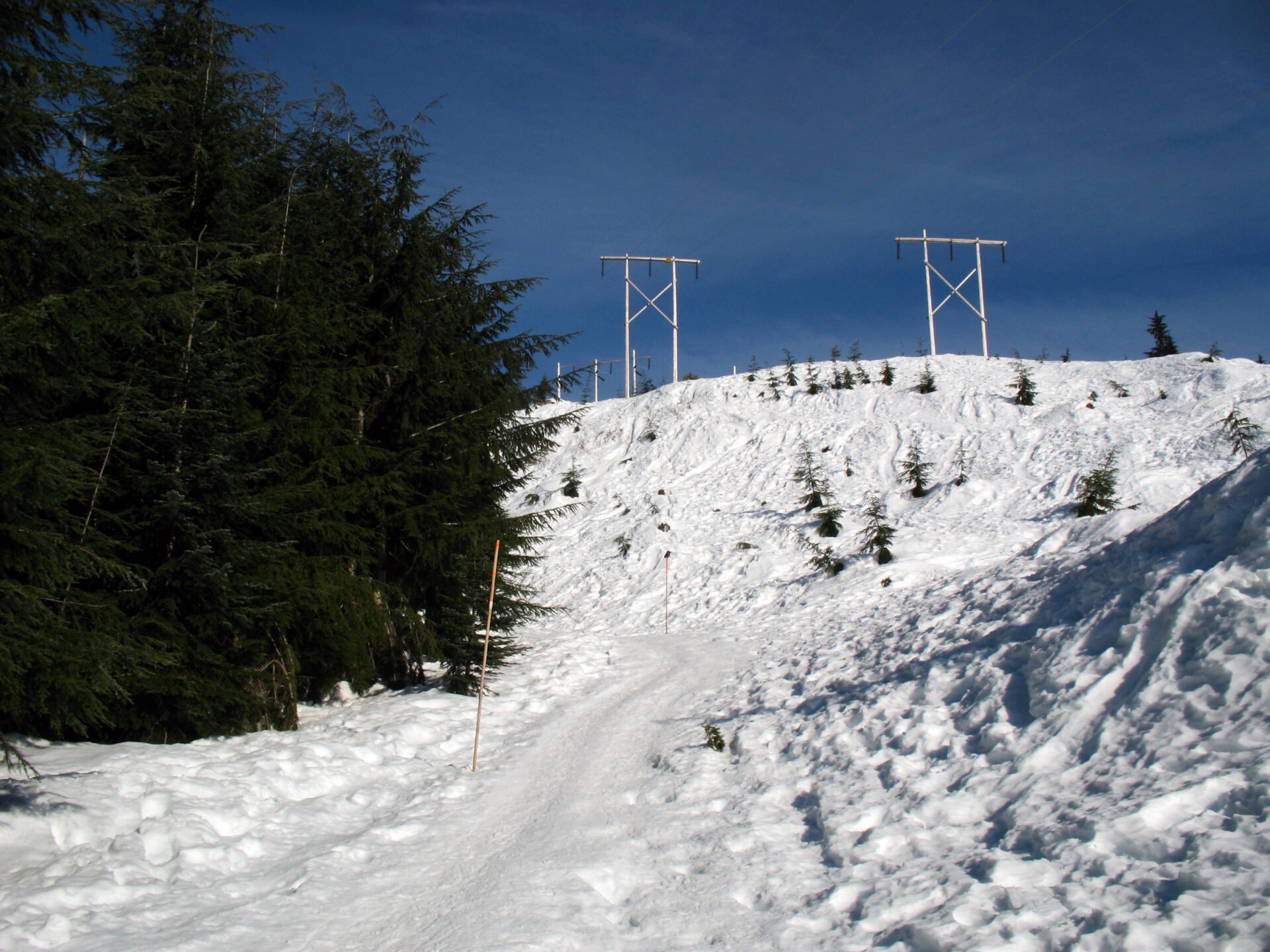
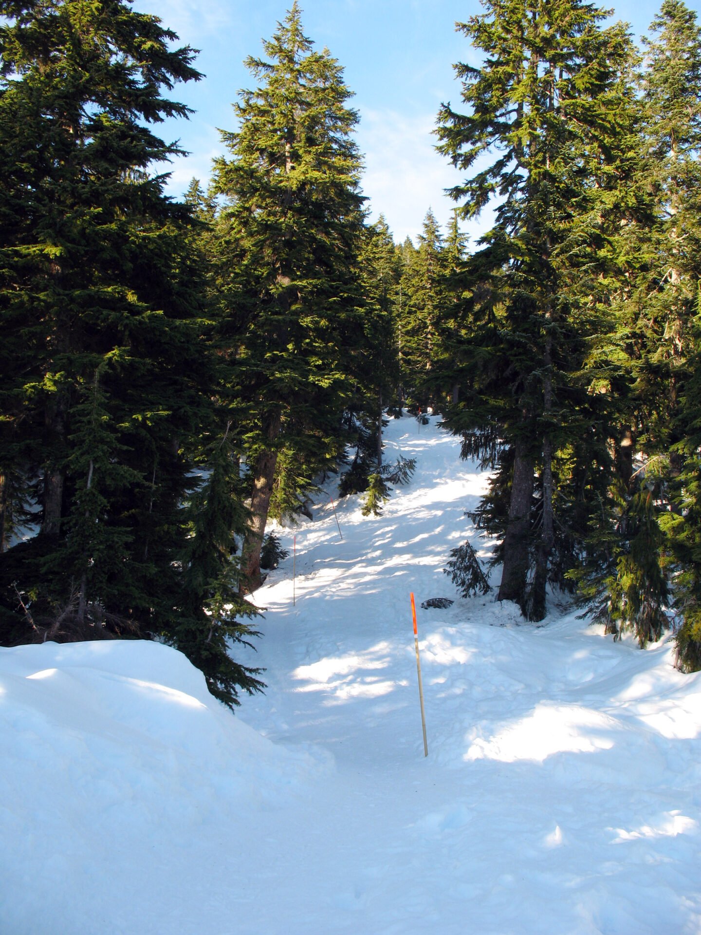
The first section of the trail starts at a fairly easy pace as it climbs gradually to the left of the power lines. However, just a few minutes in and the first steep hill takes you to the first ridge under the power lines before veering left and into the trees. The route is well marked with poles, so make sure to stay on the trail and keep an eye out for the next pole.
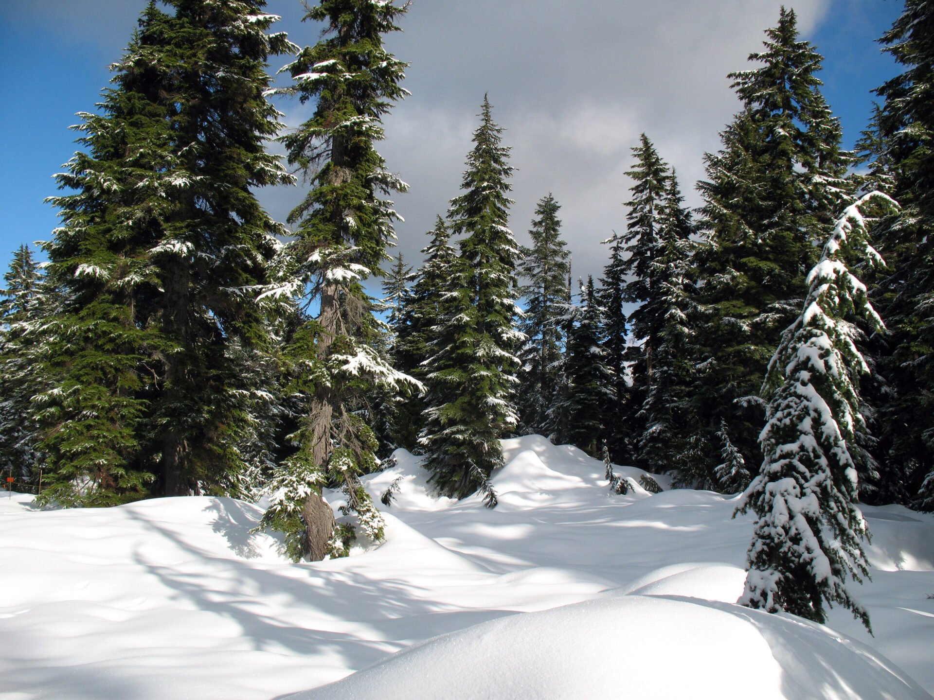
The trail meanders through the forest before climbing up a fairly wide, steep section. Make sure to look back as clear, sunny days can offer glimpses of the city in the distance. Continue snowshoeing along the trail and resting where needed.

Eventually, the trail arrives at an fairly open, flat section, however there’s one more steep section to go before you reach the top. Continue up the steep section, being cautious along the narrow trail for snowshoers coming down the mountain. The trail then opens up as you reach the peak of Hollyburn Mountain.

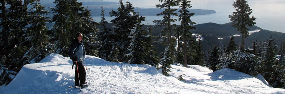
If it’s a sunny day, the views from the top are wonderful as you can see towards Vancouver, out towards the Strait of Georgia, and the mountain ranges in the backcountry, including the Lions. This is a great spot to stop for lunch and rest before heading back down.
After enjoying your time at the peak, begin your trek back down the hill, carefully watching your grip as you descend down the steep section. I’ve found that taking adjustable poles on this route helps, especially with balance coming down the steeper sections. Being able to adjust the poles helps because you need the longer reach when you’re walking down hill and reaching in front of you.
Eventually, the trail arrives back at the power lines and you descend down the final steep section back to the parking lot.
Photos


5 responses to “Hollyburn Mountain Snowshoeing”
Leave a Reply
Comments that gratuitously attack or demean individuals or organizations are not acceptable. We reserve the right to remove comments or any other content we deem unacceptable in our sole discretion, including removing user names and profile pictures. For our full website terms and conditions including our legal guidelines for user postings and comments on www.vancouvertrails.com, please see our Terms of Use and Privacy Policy.
Is there any way to go there by public transport from Vancouver?
Is this trail wide enoug/safe enough to pull a pulk?
Until when is snowshoeing acceptable on this trail?
can I bring a dog? is it dog friendly?
Yes, you can take your dog up to Hollyburn Mountain, it must be leashed though. Here’s the official info from the BC Parks website:
“Pets/domestic animals must be on a leash at all times and are not allowed in beach areas or park buildings. You are responsible for their behaviour and must dispose of their excrement. Backcountry areas are not suitable for dogs or other pets due to wildlife issues and the potential for problems with bears.
Please note: Dogs and other pets are not permitted on the Yew Lake Interpretive Trail.”